
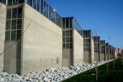
Siège du Centre d'études hydrographiques, building in Madrid, Spain
Location: Madrid
Architects: Miguel Fisac
GPS coordinates: 40.41246,-3.72202
Latest update: March 15, 2025 04:28
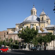
Royal Basilica of Saint Francis the Great
684 m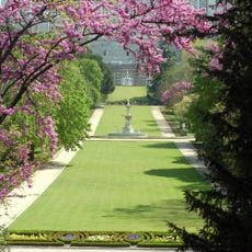
Campo del Moro
687 m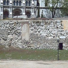
Muslim Walls of Madrid
683 m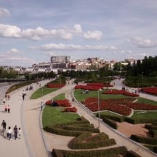
Madrid Río
3.2 km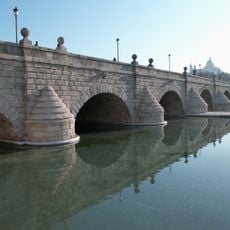
Bridge of Segovia
204 m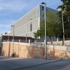
Royal Collections Gallery
664 m
Gardens of Las Vistillas
582 m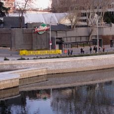
Sala La Riviera
178 m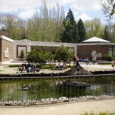
Museo de Carruajes
607 m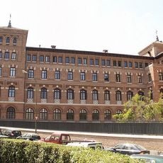
Seminario Conciliar de la Inmaculada y San Dámaso
549 m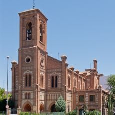
Church of Santa Cristina
547 m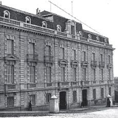
Palace of the Cuesta de la Vega
691 m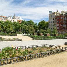
Dalieda de San Francisco, Madrid
707 m
Parque del Emir Mohamed I, Madrid
674 m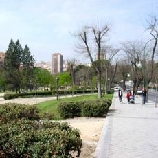
Athens Park
382 m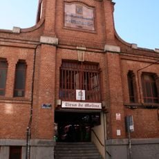
Mercado de Tirso de Molina
338 m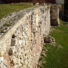
Tower of Narigües
691 m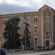
Colegio Arzobispal de Madrid/Seminario Menor de Madrid
688 m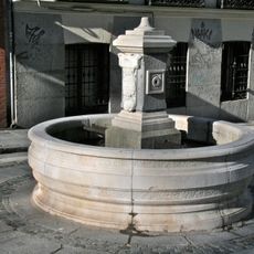
Fuente de la Cuesta de los Ciegos
614 m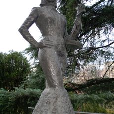
La Violetera
621 m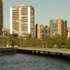
Puente Oblicuo, Madrid
147 m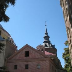
Cristo de los Dolores Chapel
659 m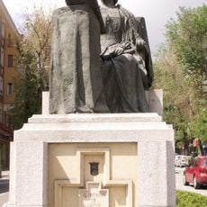
Monument to Beatriz Galindo, Madrid
577 m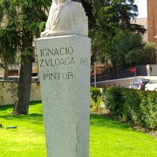
Monumento a Ignacio Zuloaga
570 m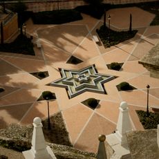
Fuente en estrella, parque Emir Mohamed I
672 m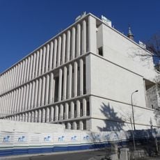
Museo de Colecciones Reales building
648 m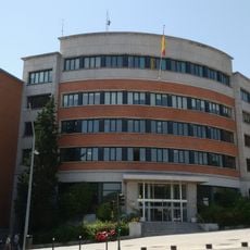
Edificio de la Confederación Hidrográfica del Tajo
675 m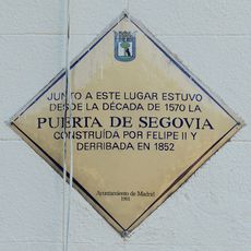
Commemorative plaque to the Gate of Segovia, Madrid
545 mReviews
Visited this place? Tap the stars to rate it and share your experience / photos with the community! Try now! You can cancel it anytime.
Discover hidden gems everywhere you go!
From secret cafés to breathtaking viewpoints, skip the crowded tourist spots and find places that match your style. Our app makes it easy with voice search, smart filtering, route optimization, and insider tips from travelers worldwide. Download now for the complete mobile experience.

A unique approach to discovering new places❞
— Le Figaro
All the places worth exploring❞
— France Info
A tailor-made excursion in just a few clicks❞
— 20 Minutes