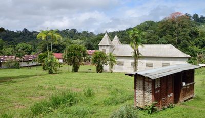
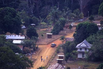
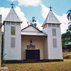
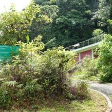
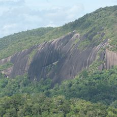
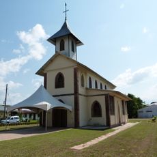
Saül, commune in Guyane, France
Location: Canton of Maripasoula
Location: arrondissement of Saint-Laurent-du-Maroni
Location: French Guiana
Elevation above the sea: 206 m
Shares border with: Régina, Mana, Maripasoula, Saint-Élie, Papaichton
GPS coordinates: 3.62278,-53.20833
Latest update: June 8, 2025 09:45
Guiana Amazonian Park
107.5 km
Petit-Saut Dam
161.2 km
Camp Crique Anguille
155.1 km
Zoo de Guyane
167.4 km
Pont du Larivot
170.7 km
Chutes Voltaire
184.7 km
Nouragues Nature Reserve
107.4 km
Montagne des Singes
171.1 km
Guyana Botanical Garden
173.1 km
St. Anthony of Padua Church, Saül
150 m
Trésor Regional Nature Reserve
150.8 km
La Trinité National Nature Reserve
88.1 km
Église Saint-Jean-Baptiste de Montsinéry
162.1 km
Réserve naturelle nationale du mont Grand Matoury
166.1 km
Église Saint-Dominique de Roura
157 km
Église Saint-Louis de Tonnégrande
162.1 km
Gran Olo
168 km
Église Saint-Jean-Baptiste de Grand-Santi
148.9 km
Église Saint-Étienne de Régina
142.3 km
Église Hmong de Cacao
134 km
Abattis Kotika
128.9 km
Retenue du Barrage de Petit Saut
145.6 km
Manbari rapids
161.7 km
Sentier Molokoï
133.3 km
Adoemansingie Soela
191.7 km
Grienkasaba Sula
186.6 km
Gran Sula
149.2 km
Kotilolo Sula
149.7 kmReviews
Visited this place? Tap the stars to rate it and share your experience / photos with the community! Try now! You can cancel it anytime.
Discover hidden gems everywhere you go!
From secret cafés to breathtaking viewpoints, skip the crowded tourist spots and find places that match your style. Our app makes it easy with voice search, smart filtering, route optimization, and insider tips from travelers worldwide. Download now for the complete mobile experience.
A unique approach to discovering new places❞
— Le Figaro
All the places worth exploring❞
— France Info
A tailor-made excursion in just a few clicks❞
— 20 Minutes