Amadagur mandal, mandal in Sri Sathya Sai district, Andhra Pradesh, India
Location: Sri Sathya Sai district
Capital city: Amadagur
GPS coordinates: 13.89000,78.00900
Latest update: March 6, 2025 20:27
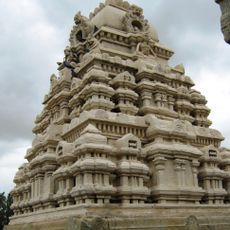
Veerabhadra Temple
44.3 km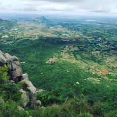
Horsley Hills
49.6 km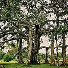
Thimmamma Marrimanu
37.4 km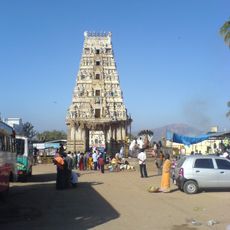
Ghati Subramanya
83.5 km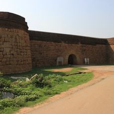
Devanahalli Fort
78.4 km
Makalidurga
74.9 km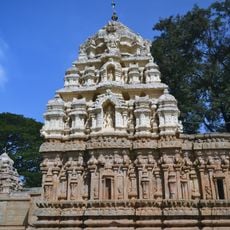
Someshwara Temple, Kolar
84.9 km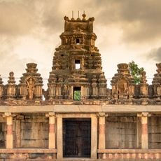
Bhoga Nandeeshwara Temple
65.3 km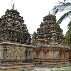
Ramalingeshwara group of temples, Avani
93.8 km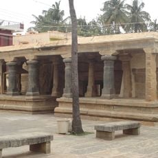
Kolaramma Temple
84.8 km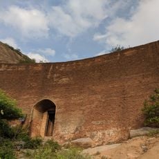
Ratnagiri Fort
95.4 km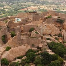
Madaksira hill fort
80.2 km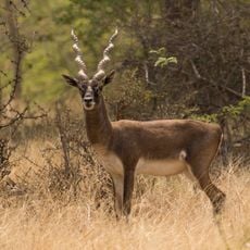
Jayamangali Blackbuck Reserve
76.1 km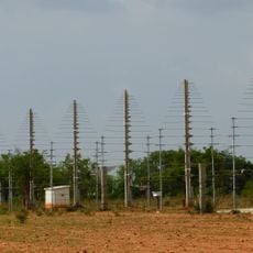
Gauribidanur Radio Observatory
70.6 km
Venugopalaswamy Temple, Devanahalli
80.7 km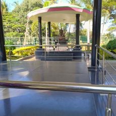
Sir M Vishweshwarayya Samadhi
63.5 km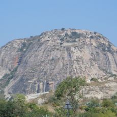
Gurramkonda Fort
63.6 km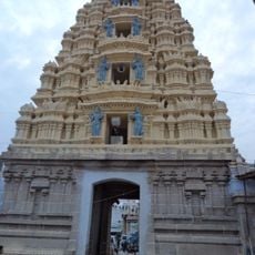
Laxminarsimha Swamy temple, Kadiri
29.1 km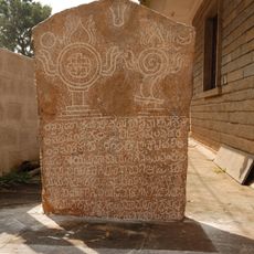
Anjaneya Temple Harohalli Inscription
96.4 km
Country Club Kool
88.1 km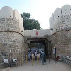
Penukonda Fort
49.7 km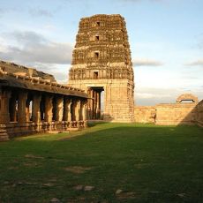
Madhavaraya Temple
28.2 km
Gurramkonda Mahal
63.7 km
Chennakeswaraswami Temple
31.8 km
Basavannah temple with Nandi
43.9 km
Hoskote Tank
94.5 km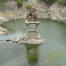
Sitatirtham stepped well
49.4 km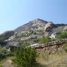
Madhugiri Fort
90.6 kmReviews
Visited this place? Tap the stars to rate it and share your experience / photos with the community! Try now! You can cancel it anytime.
Discover hidden gems everywhere you go!
From secret cafés to breathtaking viewpoints, skip the crowded tourist spots and find places that match your style. Our app makes it easy with voice search, smart filtering, route optimization, and insider tips from travelers worldwide. Download now for the complete mobile experience.

A unique approach to discovering new places❞
— Le Figaro
All the places worth exploring❞
— France Info
A tailor-made excursion in just a few clicks❞
— 20 Minutes