Enable Location

We need your location to show you interesting places around you

Discover nearby places

Find interesting locations and hidden gems around you

Precise directions

Get accurate directions and distances to places

Your location is never shared with other users. It's only used when you tap the location button.

Longobucco

Log in to your account

Start exploring — it's free

Trusted by 63,533 travelers worldwide

Continue with Google
Continue with Apple
or

We will send you a code to connect

By continuing, you accept our Terms and Conditions and our Privacy Policy

Check your inbox

We've sent a pincode in your inbox. Please enter the code below.

Discussion Reviews 1 Photos
17.3k Popularity

Longobucco, Italian comune

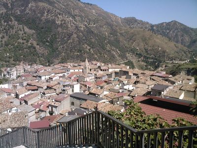
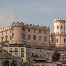
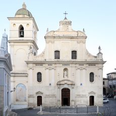
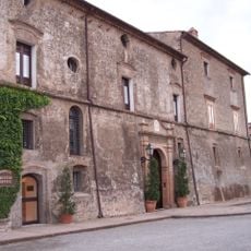
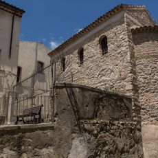
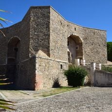
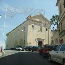
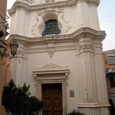
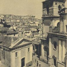
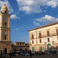
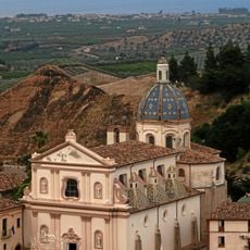
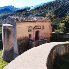
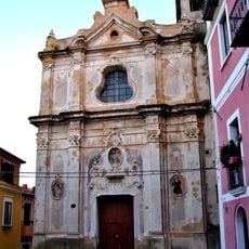
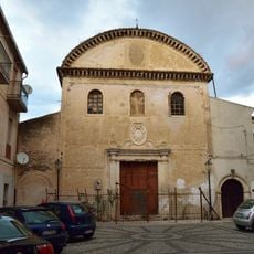
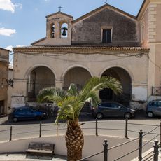
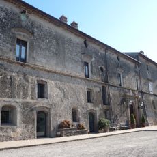
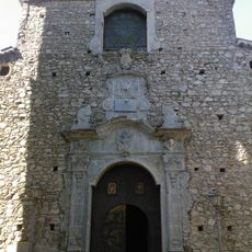
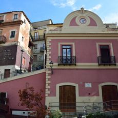
Longobucco is a small commune in the Calabrian mountains within Sila National Park, surrounded by forests and natural beauty. The town features narrow streets, old stone buildings, and several historic churches including the 12th-century Santa Maria Assunta, notable for its carved stone facade and the adjacent bell tower that rises prominently above the town.

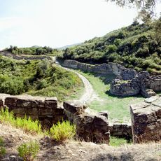
Longobucco was founded in the Middle Ages and takes its name from the Lombards who settled in the region. From the 12th to 16th centuries, the town was known for silver mining, but earthquakes eventually closed the mines, after which the economy shifted to traditional crafts like weaving.

The name Longobucco comes from the Lombards, a Germanic people who settled in medieval Italy. Weaving remains central to daily life, with artisans still crafting fabrics on traditional wooden looms using patterns and techniques passed down for centuries. These textiles reflect the community's dedication to preserving its craft heritage.

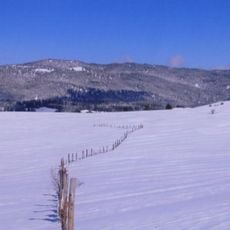
Wear comfortable hiking shoes since the town sits on hilly terrain with steep, narrow streets. Spring and autumn offer the best weather for walking through town and exploring the nearby park trails without heat or cold extremes.

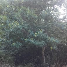
A giant larch tree called Pino Laricio near the town reaches about 100 feet (30 meters) tall with a trunk circumference exceeding 33 feet (10 meters), serving as a symbol of the region's rich forest heritage. Its twisted root system reveals a long history adapting to the mountain terrain.

The community of curious travelers

AroundUs brings together thousands of curated places, local tips, and hidden gems, enriched daily by 60,000 contributors worldwide.

Start exploring
Capital city
Longobucco
Elevation above the sea
800 m
Shares border with
Acri, Bocchigliero, Caloveto, Celico, Cropalati, Paludi, Pietrapaola, Corigliano-Rossano, Spezzano della Sila, Casali del Manco, San Giovanni in Fiore
GPS coordinates
39.45000,16.61667
Latest update
February 17, 2026 01:01
Reviews
Share your experience

No review yet

Discussions
Start a discussion...

No discussion yet

« Longobucco - Italian comune » is provided by Around Us (aroundus.com). Images and texts are derived from Wikimedia project under a Creative Commons license. You are allowed to copy, distribute, and modify copies of this page, under the conditions set by the license, as long as this note is clearly visible.

Discover hidden gems everywhere you go!

From secret cafés to breathtaking viewpoints, skip the crowded tourist spots and find places that match your style. Our app makes it easy with voice search, smart filtering, route optimization, and insider tips from travelers worldwide. Download now for the complete mobile experience.

Around Us App Screenshot

A unique approach to discovering new places

Le Figaro

All the places worth exploring

France Info

A tailor-made excursion in just a few clicks

20 Minutes

Around Us
Travel Guide & Maps
Download

Send to your phone

QR Code
1

Open the camera app on your mobile.

2

Point at the QR code with your camera. A notification will appear.

3

Tap the notification to open the link.