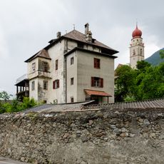
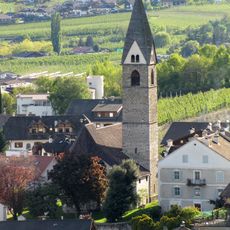
Algund, Italian comune
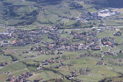
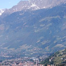
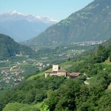
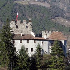
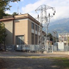
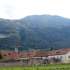
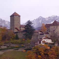
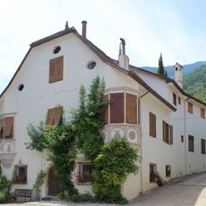
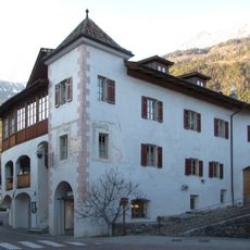
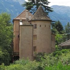
Algund is a small commune in South Tyrol nestled between green vineyards and fruit orchards. The village spreads across several districts in gentle hills with views toward the Alps, combining traditional architecture with agricultural surroundings and easy access to walking and cycling trails.
Algund developed as an agricultural settlement in medieval times and was shaped by fruit and wine production for centuries. The irrigation channels still visible today demonstrate how early inhabitants made the landscape productive for farming.
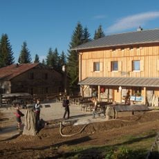
Algund's name reflects the Ladin language heritage that has shaped this area for centuries. The village culture reveals itself through wine festivals and farmer markets where locals regularly sell their produce, allowing visitors to witness traditional crafts and regional specialties as part of daily community life.
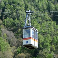
The best time to visit is May through September when weather is warm and stable and most walking trails are fully accessible. Flat terrain and canal trails allow easy walks for all fitness levels, while buses and bicycles provide good mobility without a car.
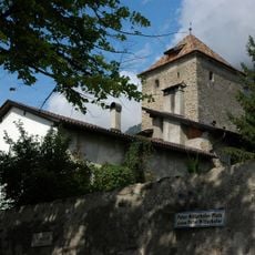
The historic Waalweg canal trail follows irrigation channels laid out centuries ago for farming and now serves as a peaceful walking route. The path traces water flows through vineyards, offering an unusual perspective on how the land was historically managed.
The community of curious travelers
AroundUs brings together thousands of curated places, local tips, and hidden gems, enriched daily by 60,000 contributors worldwide.