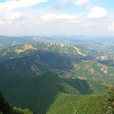
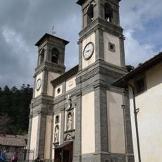
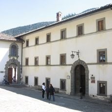
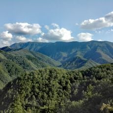
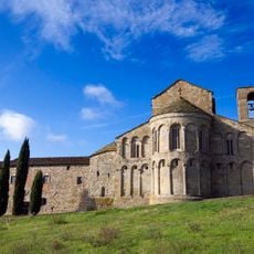
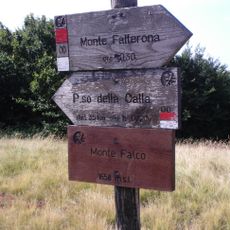
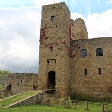
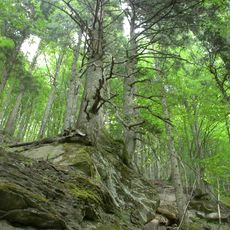
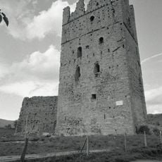
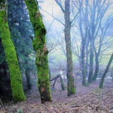
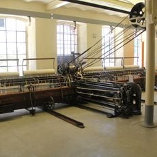
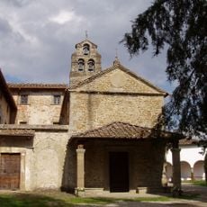
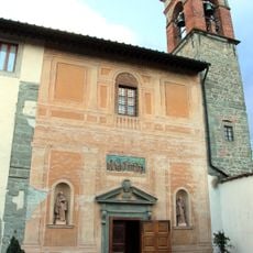
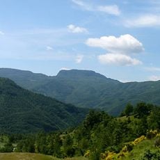
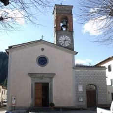
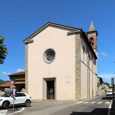
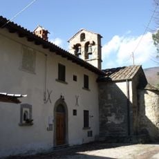
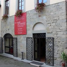
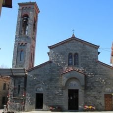
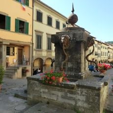
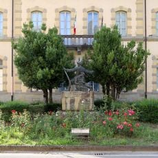
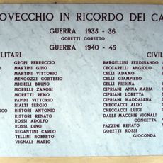
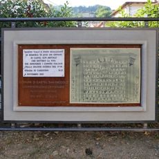
Pratovecchio Stia, human settlement in Province of Arezzo, Tuscany, Italy
Location: Province of Arezzo
Elevation above the sea: 441 m
Website: http://www.comune.stia.ar.it/
Shares border with: Poppi, Castel San Niccolò, Montemignaio, San Godenzo, Londa, Rufina, Pelago
Website: http://comune.stia.ar.it
GPS coordinates: 43.80154,11.70674
Latest update: March 8, 2025 15:07
Foreste Casentinesi, Monte Falterona, Campigna National Park
8.2 km
Hermitage of Camaldoli
8.9 km
Monastero di Camaldoli
9.2 km
Réserve naturelle Sasso Fratino
10.1 km
San Pietro a Romena
3.1 km
Monte Falco
8.5 km
Castello di Romena
2.5 km
Lake of the Idols
7.1 km
Riserva naturale Campigna
8.4 km
Porciano Castle
1.1 km
Santa Maria Assunta
70 m
Riserva naturale Camaldoli
9.5 km
Museo dell'arte della lana
99 m
Santuario di Santa Maria delle Grazie
2.9 km
San Giovanni Evangelista
1.7 km
Giardino Botanico di Valbonella
8.8 km
Biblioteca dell'Eremo di Camaldoli
8.9 km
Propositura del Santissimo Nome di Gesù
1.8 km
Category:San Donato (Borgo alla Collina)
5.9 km
Sant'Elena a Rincine
11.1 km
Teatro degli Antei
1.8 km
San Domenico (Consuma)
9.1 km
Plaque to second lieutenant Renato Ristori
1.8 km
Fontana di Piazza Tanucci
2 m
Oratory of the Madonna del Ponte
179 m
War Memorial of Strada in Casentino
6.6 km
Plaque to the Fallen of Pratovecchio war 1940-45
1.8 km
Plaque in memory of the fallen of the Great War
6.4 kmReviews
Visited this place? Tap the stars to rate it and share your experience / photos with the community! Try now! You can cancel it anytime.
Discover hidden gems everywhere you go!
From secret cafés to breathtaking viewpoints, skip the crowded tourist spots and find places that match your style. Our app makes it easy with voice search, smart filtering, route optimization, and insider tips from travelers worldwide. Download now for the complete mobile experience.
A unique approach to discovering new places❞
— Le Figaro
All the places worth exploring❞
— France Info
A tailor-made excursion in just a few clicks❞
— 20 Minutes