
Cipresso del Bhutan
Location: Rivara
Elevation above the sea: 370 m
Height: 20 m
Part of: inhabited area
Address: Palazzo comunale - Corso Ogliani,9
GPS coordinates: 45.33301,7.62523
Latest update: June 14, 2025 18:04
Sacro Monte di Belmonte
3.9 km
Monte Soglio
8.6 km
Riserva Naturale della Vauda
8 km
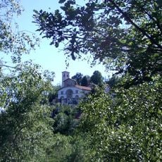
Castello di Rivara
330 m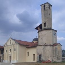
St. Pontius martyr
4.2 km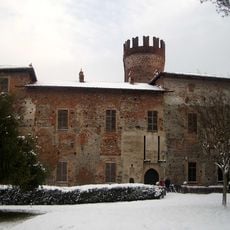
Castello di Malgrà
8.2 km
Consolata, Levone
2.5 km
Rotonda Antonelliana
8.6 km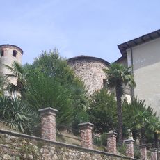
Castello di Valperga
5 km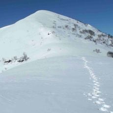
Cima Mares
8.5 km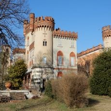
Favria Castle
5.1 km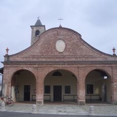
Chiesa di San Pietro Vecchio
5.4 km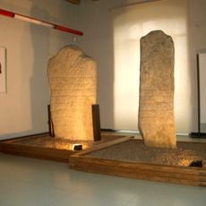
Museo archeologico del Canavese
7 km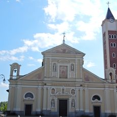
San Giuliano Martire
4.7 km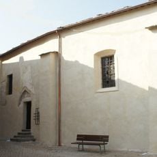
Santa Croce
4.7 km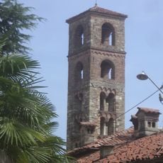
San Giorgio
4.8 km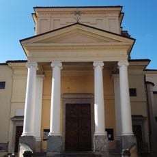
Chiesa di San Dalmazzo Martire
6.7 km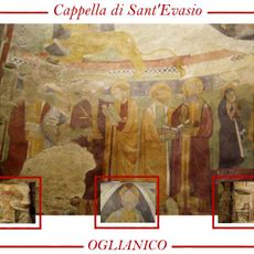
Cappella di Santo Spirito ed Evasio
5.4 km
Assunzione di Maria Vergine
3.6 km
San Tommaso Apostolo
2.5 km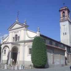
Chiesa della Santissima Annunziata e San Cassiano
5.4 km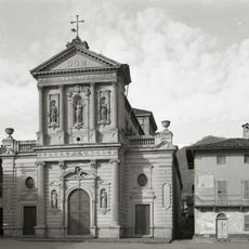
Chiesa Parrocchiale
4.7 km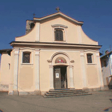
San Lorenzo Martire Church
5.1 km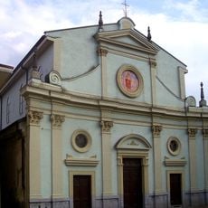
San Giovanni Battista
5.8 km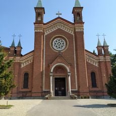
Santi Pietro e Paolo
8.6 km
Town hall of Canischio
5.2 km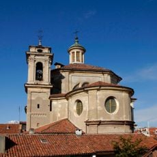
Chiesa di San Michele Arcangelo
7.9 km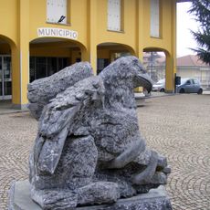
Town hall of Front
6.7 kmReviews
Visited this place? Tap the stars to rate it and share your experience / photos with the community! Try now! You can cancel it anytime.
Discover hidden gems everywhere you go!
From secret cafés to breathtaking viewpoints, skip the crowded tourist spots and find places that match your style. Our app makes it easy with voice search, smart filtering, route optimization, and insider tips from travelers worldwide. Download now for the complete mobile experience.

A unique approach to discovering new places❞
— Le Figaro
All the places worth exploring❞
— France Info
A tailor-made excursion in just a few clicks❞
— 20 Minutes