
Hirao, town in Kumage district, Yamaguchi prefecture, Japan
Location: Yamaguchi Prefecture
Location: Kumage district
Inception: April 1, 1889
Shares border with: Yanai, Tabuse, Kaminoseki
Website: http://town.hirao.lg.jp
GPS coordinates: 33.93792,132.07322
Latest update: March 4, 2025 19:38
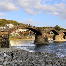
Kintai Bridge
27.3 km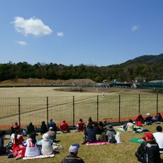
Hiroshima Toyo Carp Yuu Baseball Ground
12.6 km
Boat Race Tokuyama
23.4 km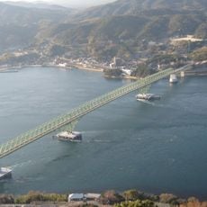
Oshima Bridge
10.6 km
Kitsunegasaki
27.6 km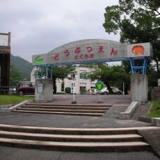
Tokuyama Zoo
27.5 km
Kikkō Park
27.5 km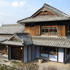
Museum of Japanese Emigration to Hawaii
11.9 km
Kingyo chōchin
3.9 km
Yanai Chausuyama Kofun
6 km
Tetsurō Hoshino Museum
26.2 km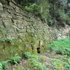
Iwakisan Kōgoishi
6.3 km
พิพิธภัณฑ์ปราสาทสามก๊ก
7.5 km
Kashiwabara Museum
27.6 km
Genkō-ji
24.7 km
笠戸大橋
20.4 km
Nijigahama
15 km
普賢寺
9.9 km
Mount Dake
18.5 km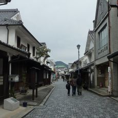
Furuichi-Kanaya Preservation District for Groups of Traditional Buildings
4.8 km
Shiratori Kofun
4.6 km
神花山古墳
3.3 km
専福寺
3.7 km
Kunimori Kofun
5.2 km
後井古墳群
5 km
長徳寺
12.4 km
渓月院
13.5 km
Ryoho-ji
6.3 kmReviews
Visited this place? Tap the stars to rate it and share your experience / photos with the community! Try now! You can cancel it anytime.
Discover hidden gems everywhere you go!
From secret cafés to breathtaking viewpoints, skip the crowded tourist spots and find places that match your style. Our app makes it easy with voice search, smart filtering, route optimization, and insider tips from travelers worldwide. Download now for the complete mobile experience.

A unique approach to discovering new places❞
— Le Figaro
All the places worth exploring❞
— France Info
A tailor-made excursion in just a few clicks❞
— 20 Minutes