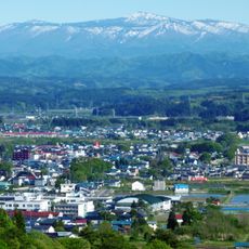
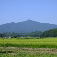
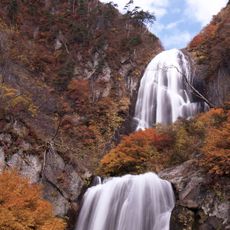
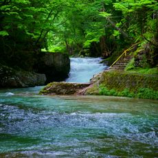
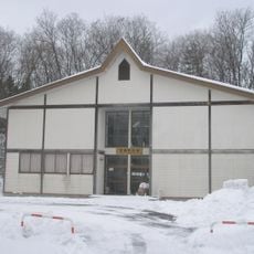
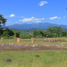
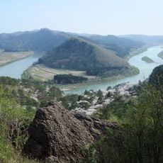
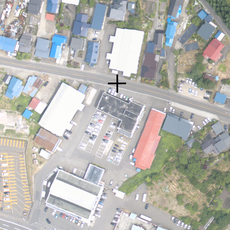
Kamikoani, village in Kitaakita district, Akita prefecture, Japan
Location: Kitaakita district
Inception: April 1, 1889
Shares border with: Kitaakita, Akita, Noshiro, Mitane, Gojome
Website: https://vill.kamikoani.akita.jp
GPS coordinates: 40.06336,140.29564
Latest update: March 11, 2025 13:07
Our virgen de katy
36.1 km
Kubota Castle
40.6 km
Ogata Fuji
26 km
Bear Garden
26.5 km
Mount Moriyoshi
21.1 km
Senshū Park
40.7 km
Mount Taihei
29.7 km
Yasu Falls
30.2 km
Hiyama Andō Clan Fortified Residence ruins
18.5 km
Minato Castle
39.1 km
Tentoku-ji
39.1 km
Akita Prefectural Museum
33.7 km
補陀寺
34.8 km
Chagama Falls
23.1 km
Akita Prefectural Hokuou-no-mori Park
12.8 km
Mount Mori
19.6 km
Kotooka-Moritake toll booth
17.8 km
上小阿仁村立上小阿仁小中学校
364 m
Akita Prefectural Koizumigata Park
33.8 km
Mineral Industry Museum, Akita University
39.6 km
Todo Falls
30.4 km
Nibetsu Forest Museum
29.1 km
Soya Ravine
40.6 km
Kotooka General Gymnasium
17 km
Snow Country Folklore Museum
40.5 km
Isedōtai Site
16 km
Nanakura Yama
14.8 km
あきた北央農業協同組合
11.3 kmReviews
Visited this place? Tap the stars to rate it and share your experience / photos with the community! Try now! You can cancel it anytime.
Discover hidden gems everywhere you go!
From secret cafés to breathtaking viewpoints, skip the crowded tourist spots and find places that match your style. Our app makes it easy with voice search, smart filtering, route optimization, and insider tips from travelers worldwide. Download now for the complete mobile experience.
A unique approach to discovering new places❞
— Le Figaro
All the places worth exploring❞
— France Info
A tailor-made excursion in just a few clicks❞
— 20 Minutes