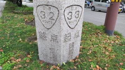
Japan National Route 33, road in Japan
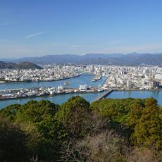
Japan National Route 33 is a road on Shikoku connecting the city of Kōchi to Matsuyama and spanning roughly 123 kilometers. It passes through hills and rural areas, crossing bridges and tunnels while following river valleys with varied terrain throughout the journey.
The road was officially established as a national route in 1952, after previously holding a different classification. The historic name Tosa Kaidō reflects its significance as a traditional connection between Kōchi and western regions.
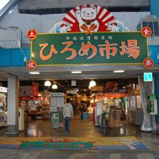
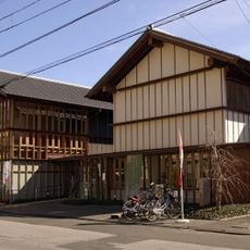
The road passes through traditional Japanese townscapes and rural areas where locals use it for everyday travel and shopping. In places like Niyodogawa, old buildings line narrow streets and shape the pace of daily community life.
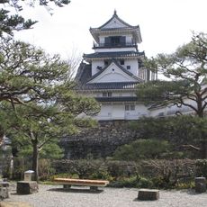
The road begins at an intersection in Kōchi and runs toward Matsuyama with clear Japanese signage along the way. Plan for roughly two hours of driving time and be ready for varying speeds through rural areas and small towns.
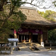
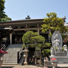
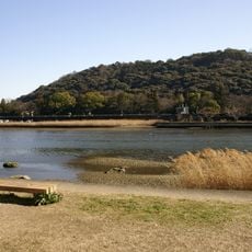
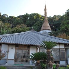
In Kumakōgen, the route offers views of mountain landscapes and small villages that reveal the rural character of the region. Throughout the road, signs point toward local attractions like old temples and natural landmarks worth exploring.
The community of curious travelers
AroundUs brings together thousands of curated places, local tips, and hidden gems, enriched daily by 60,000 contributors worldwide.