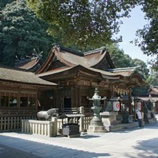
Saitacho, Rural town in Mitoyo, Japan
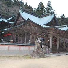
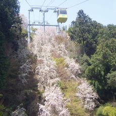
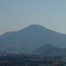
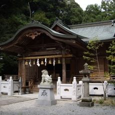
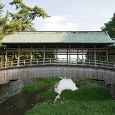
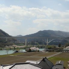
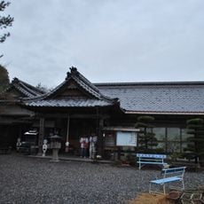
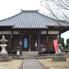
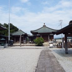
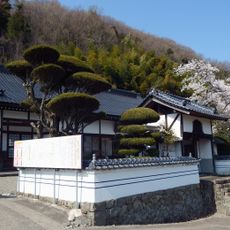
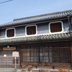
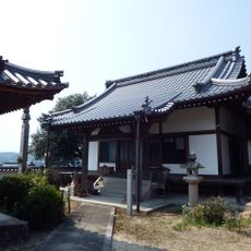
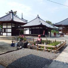
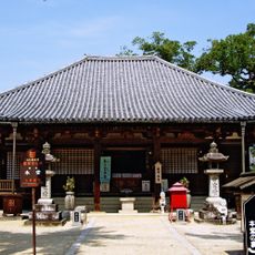
Saitacho is a rural locality within the city of Mitoyo, in Kagawa Prefecture on the island of Shikoku. The area consists of hilly terrain with rice paddies, vegetable plots, and small farm holdings spread across the landscape.
Saitacho functioned as an independent municipality until 2006, when it merged with six neighboring communities. That consolidation created the present-day city of Mitoyo in Kagawa Prefecture.
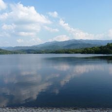
Saitacho sits in Kagawa Prefecture, a part of Japan where rice farming has long shaped the look of the land and the pace of daily life. Walking through the area, you can see fields tended by local families following the rhythm of the growing seasons.
The area is easiest to explore by car or bicycle, as narrow roads wind through farmland and small villages with few public transport options. Visiting during spring or autumn gives a clearer sense of the farming cycle in action.
Before the 2006 merger, Saitacho had an unusually even mix of small and medium-sized farming operations, rather than a single dominant type of agriculture. This balance helped the local community stay economically active without depending on any one crop or farming scale.
The community of curious travelers
AroundUs brings together thousands of curated places, local tips, and hidden gems, enriched daily by 60,000 contributors worldwide.