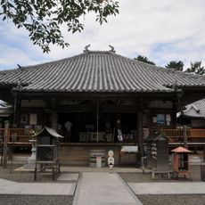
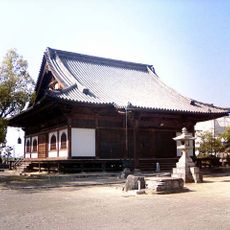
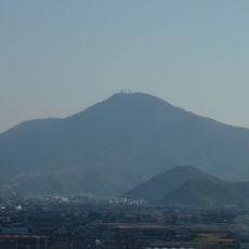
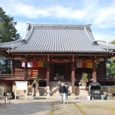
Toyonakacho, Rural town in Mitoyo, Japan
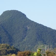
Toyonakacho is a rural community in Mitoyo surrounded by farmland, forests, and mountains in Kagawa Prefecture. The town develops around scattered residences interspersed with cultivated fields and natural landscape.
The name Toyonakacho refers to 'rich middle' in Japanese, describing its fertile location. The town's past is connected to agricultural development across the Shikoku region.
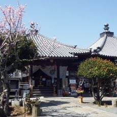
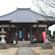
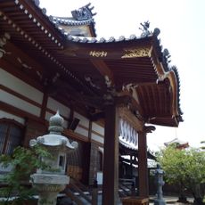
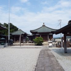
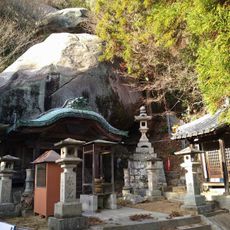
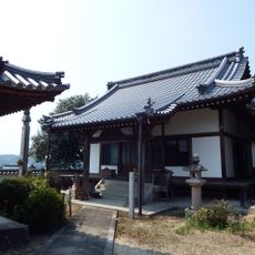
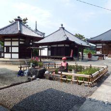
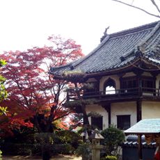
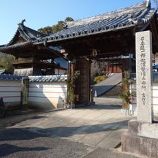
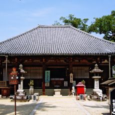
The town hosts seasonal festivals where visitors can observe traditional tea ceremonies and craft exhibitions that reflect local customs. These gatherings show how residents connect with their surroundings through time-honored practices.
Bus services connect the town to central Mitoyo with stops near local markets and restaurants. These connections make it easy to explore the area and try regional specialties like udon noodles.
Local farmers grow rice using traditional methods and maintain ancient irrigation systems in terraced fields. These practices keep farming techniques alive that have been handed down through generations.
The community of curious travelers
AroundUs brings together thousands of curated places, local tips, and hidden gems, enriched daily by 60,000 contributors worldwide.