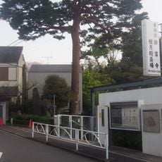
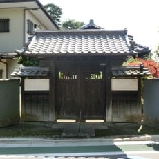
Kamisoshigaya, Administrative district in Setagaya-ku, Japan
Kamisoshigaya is a residential district in Setagaya-ku divided into seven numbered sections that help organize the neighborhood and make it easier for residents and visitors to navigate. The area combines typical Tokyo residential patterns with local infrastructure that serves the community's everyday needs.
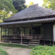
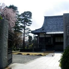
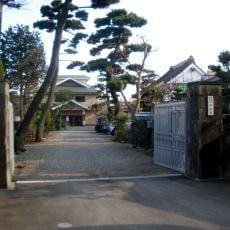
This area was once farmland before becoming part of Tokyo's urban growth in the 20th century when Setagaya expanded rapidly. The transition from rural to residential land shaped how the district looks and functions today.
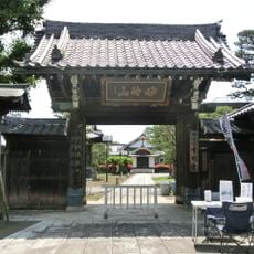
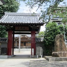
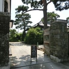
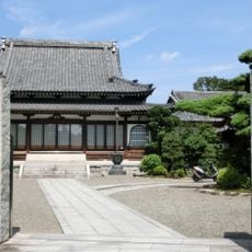
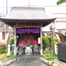
Each neighborhood section maintains local community centers where residents participate in traditional Japanese activities and seasonal celebrations throughout the year.
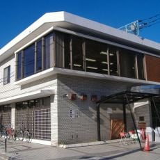
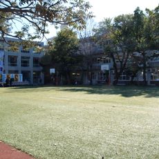
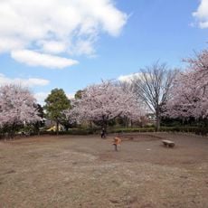
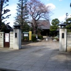
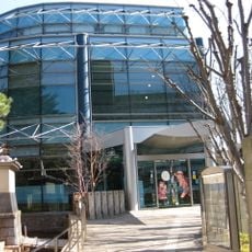
Schools and public facilities are spread throughout the seven sections, making it straightforward to find essential services and navigate the area. The numbered division system helps residents and visitors locate buildings and addresses without difficulty.
The population of 19,449 residents spreads across seven distinct administrative sections, each with its own designated educational and community facilities.
The community of curious travelers
AroundUs brings together thousands of curated places, local tips, and hidden gems, enriched daily by 60,000 contributors worldwide.