Mount Motoshirane, Active volcano in Kusatsu, Japan.
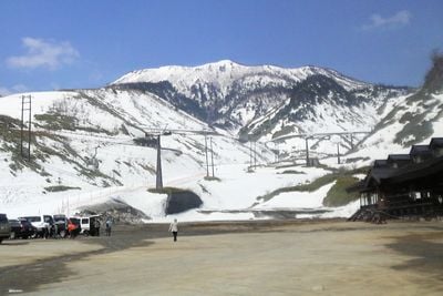
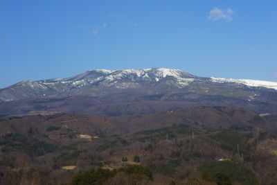
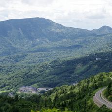
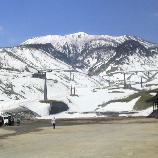
Mount Motoshirane is a 2,171 m volcano on the border of Kusatsu and Tsumagoi, Gunma Prefecture, forming a chain of pyroclastic cones running northeast to southwest within the Kusatsu-Shirane volcano. Five craters line up north to south along the summit ridge, and the upper slopes are bare brownish-purple ground streaked with snow, above wooded foothills. The Kusatsu International Ski Resort's slopes cover its flank.
The summit craters formed through eruptions between roughly 1,500 and 5,000 years ago, with lava flows about 3,000 years ago and activity at the Kagaike-kita crater until around 1,500 years ago. On 23 January 2018 a phreatic eruption opened new vents north of Kagaike pond, near the ropeway summit station; about 40,000 tonnes of material were ejected, one Self-Defense Force member was killed and 11 people injured. The ropeway was closed permanently afterwards.
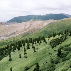
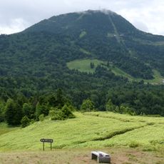
The summit holds five craters in a north-south line, and a hiking trail circles them; the craters are thought to have erupted in order from south to north, beginning with Old Motoshirane. In summer the route passes gentian, rhododendron and a stand of komakusa. The ski slopes of Kusatsu International Ski Resort cover the mountain's flank.
Hikers can explore this peak along marked trails during summer months, though they should watch for local conditions and volcanic activity. Visitors planning a trek should gather current information and pay attention to regional safety measures.
The 23 January 2018 eruption came without warning: volcanic tremor began only three minutes before, at 9:59, and tiltmeters recorded uplift for about two minutes from 10:00. No earlier data had shown activity, and the vent about 100 m from a ski lift threw ejecta estimated at 40,000 tonnes.
The community of curious travelers
AroundUs brings together thousands of curated places, local tips, and hidden gems, enriched daily by 93,629 contributors worldwide.