·

Enable Location

We need your location to show you interesting places around you

Discover nearby places

Find interesting locations and hidden gems around you

Precise directions

Get accurate directions and distances to places

Your location is never shared with other users. It's only used when you tap the location button.

Mount Kusatsu-Shirane

Log in to your account

Start exploring — it's free

Trusted by 62,721 travelers worldwide

Continue with Google
Continue with Apple
or

We will send you a code to connect

By continuing, you accept our Terms and Conditions and our Privacy Policy

Check your inbox

We've sent a pincode in your inbox. Please enter the code below.

Mount Kusatsu-Shirane

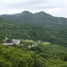
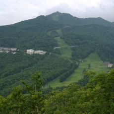
Mount Kusatsu-Shirane, Active stratovolcano in Kusatsu, Gunma Prefecture, Japan

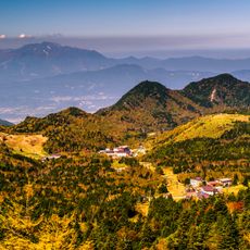
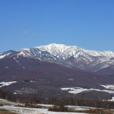
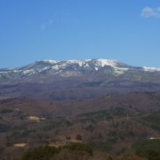
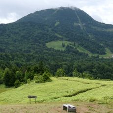
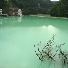
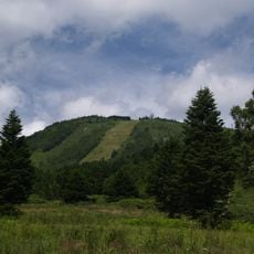
Mount Kusatsu-Shirane rises to 2,171 meters (7,123 feet) and consists of andesitic rock formed through millennia of volcanic activity. The surface shows three crater lakes, with Yu-gama being the largest and containing green acidic water.

Records document volcanic eruptions across several centuries, with the peak repeatedly ejecting material from overlapping pyroclastic cones. An eruption in January 2018 caused an avalanche on the slopes and led to temporary closure of hiking trails.

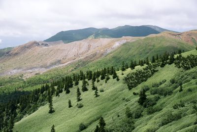
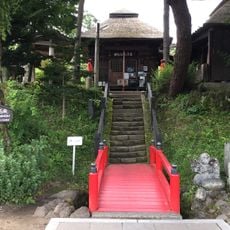
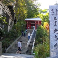
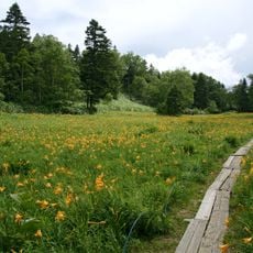
The name comes from nearby Kusatsu hot springs, while the andesitic rock gives the peak its characteristic gray coloring. Hikers follow marked trails through a landscape of volcanic deposits and crater lakes.

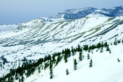
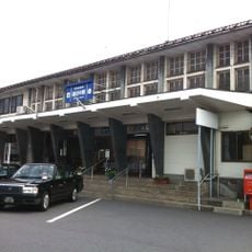
Buses run from late April through early November between Kusatsu terminal and Shirane Resthouse near the summit area. Hikers should follow weather forecasts and bring warm clothing, as temperatures remain cool at high elevation even in summer.

Sulfur deposits float on the surface of Yu-gama, creating a yellow pattern amid the emerald color of the water. The overlapping arrangement of multiple pyroclastic cones creates an unusual topography at the summit, different from most other Japanese volcanoes.

The community of curious travelers

AroundUs brings together thousands of curated places, local tips, and hidden gems, enriched daily by 60,000 contributors worldwide.

Start exploring
Location
Elevation above the sea
2,160 m
Made from material
andesite
Part of
100 Famous Japanese Mountains, 100 Famous Gunma Mountains, 100 Famous Kantō Mountains
GPS coordinates
36.62274,138.52247
Latest update
December 12, 2025 23:25
« Mount Kusatsu-Shirane - Active stratovolcano in Kusatsu, Gunma Prefecture, Japan » is provided by Around Us (aroundus.com). Images and texts are derived from Wikimedia project under a Creative Commons license. You are allowed to copy, distribute, and modify copies of this page, under the conditions set by the license, as long as this note is clearly visible.

Discover hidden gems everywhere you go!

From secret cafés to breathtaking viewpoints, skip the crowded tourist spots and find places that match your style. Our app makes it easy with voice search, smart filtering, route optimization, and insider tips from travelers worldwide. Download now for the complete mobile experience.

Around Us App Screenshot

A unique approach to discovering new places

Le Figaro

All the places worth exploring

France Info

A tailor-made excursion in just a few clicks

20 Minutes

Around Us
Travel Guide & Maps
Download

Send to your phone

QR Code
1

Open the camera app on your mobile.

2

Point at the QR code with your camera. A notification will appear.

3

Tap the notification to open the link.