Chest opened
+${chestReward.xp} XP
Explorer
NOUVEAU ×${chestReward.collectible.quantity}
tapez pour fermer
Chest locked

Open chests in the app

Around Us is built for your phone — chests unlock when you walk, explore and capture nearby places.

Enable Location

We need your location to show you interesting places around you

Discover nearby places

Find interesting locations and hidden gems around you

Precise directions

Get accurate directions and distances to places

Your location is never shared with other users. It's only used when you tap the location button.

Shibu-tōge

Log in to your account

Start exploring — it's free

Trusted by 72,945 travelers worldwide

Continue with Google
Continue with Apple
or

We will send you a code to connect

By continuing, you accept our Terms and Conditions and our Privacy Policy

Check your inbox

We've sent a pincode in your inbox. Please enter the code below.

Shibu-tōge
Discussion Reviews 3 Photos
41.3k Popularity

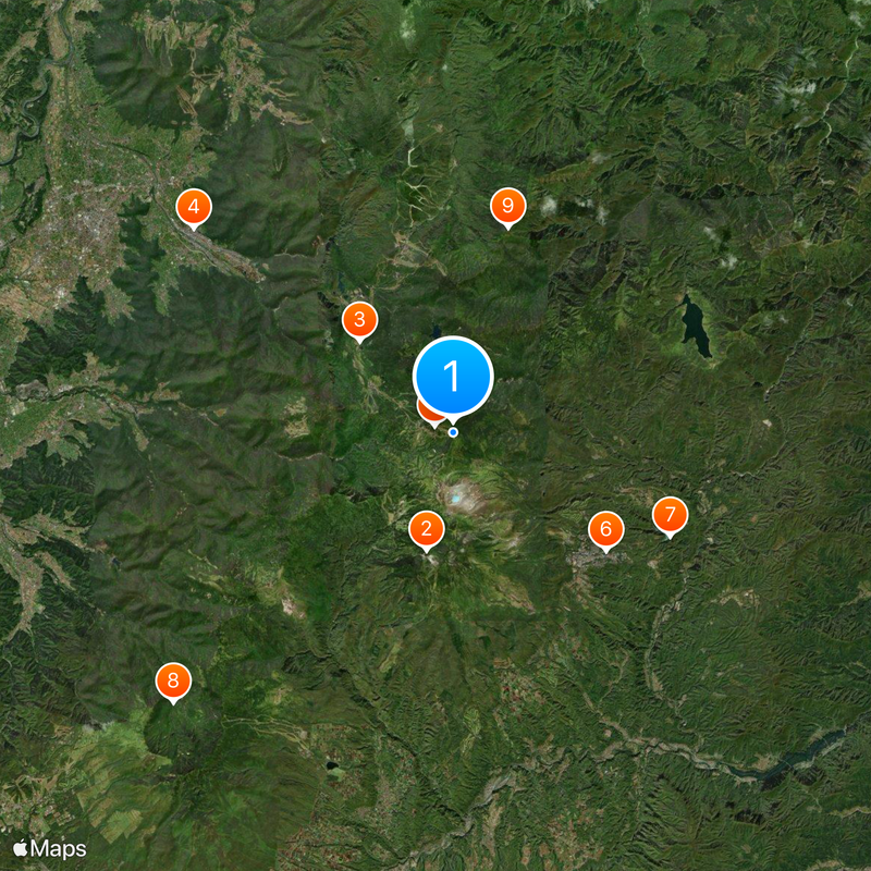
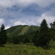
Shibu-tōge, Mountain pass between Nakanojo and Yamanouchi, Japan

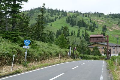
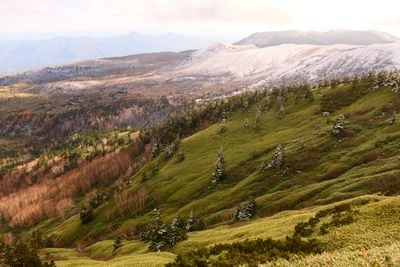
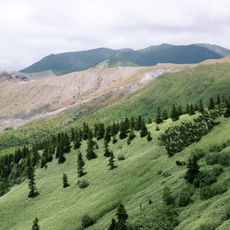
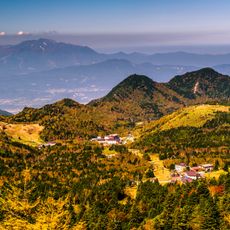
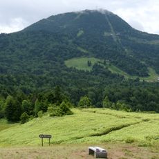
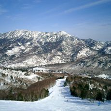
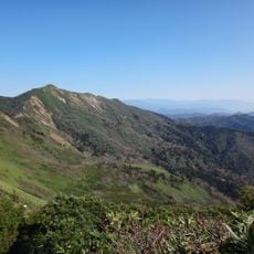
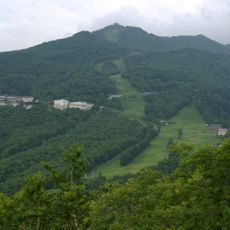
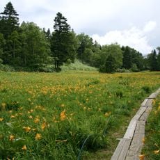
Shibu-tōge is a mountain pass at 2,172 meters elevation that links Nagano and Gunma prefectures via Route 292. The road crosses through high alpine terrain and offers views toward the Yoshigadaira wetlands below.

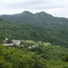
The pass historically served as a crucial transportation route between distant regions, enabling trade and movement through the Japanese Alps. The modern Route 292 replaced older pathways and created the current direct road connection between the prefectures.

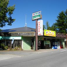
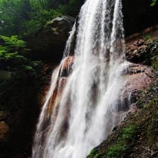
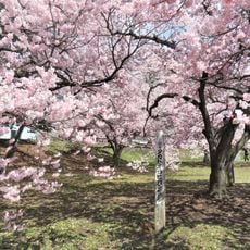
The pass sits at the heart of traditional mountain hospitality, where small restaurants along the way serve dishes made from local ingredients and local recipes. These eating places reflect how people in this alpine region have long organized their daily meals around what grows and lives nearby.

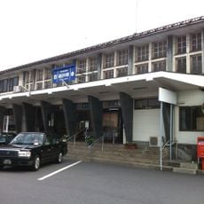
The road closes from early November through late April because of heavy winter snow, making the pass inaccessible during these months. Travel here is best planned for the warmer season, and you can reach the area by train to Yudanaka Station.

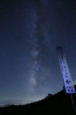
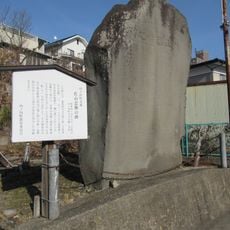
An observation point marks the highest elevation reached by any national highway in the country, where visitors stand at the border between two prefectures. This geographical detail makes it a destination that many travelers find worth the journey.

The community of curious travelers

AroundUs brings together thousands of curated places, local tips, and hidden gems, enriched daily by 60,000 contributors worldwide.

Start exploring
Location
Location
Elevation above the sea
2,172 m
GPS coordinates
36.66625,138.53453
Latest update
December 17, 2025 08:13
Reviews
Share your experience

No review yet

Discussions
Start a discussion...

No discussion yet

« Shibu-tōge - Mountain pass between Nakanojo and Yamanouchi, Japan » is provided by Around Us (aroundus.com). Images and texts are derived from Wikimedia project under a Creative Commons license. You are allowed to copy, distribute, and modify copies of this page, under the conditions set by the license, as long as this note is clearly visible.

Discover hidden gems everywhere you go!

From secret cafés to breathtaking viewpoints, skip the crowded tourist spots and find places that match your style. Our app makes it easy with voice search, smart filtering, route optimization, and insider tips from travelers worldwide. Download now for the complete mobile experience.

Around Us App Screenshot

A unique approach to discovering new places

Le Figaro

All the places worth exploring

France Info

A tailor-made excursion in just a few clicks

20 Minutes

Around Us
Travel Guide & Maps
Download

Send to your phone

QR Code
1

Open the camera app on your mobile.

2

Point at the QR code with your camera. A notification will appear.

3

Tap the notification to open the link.