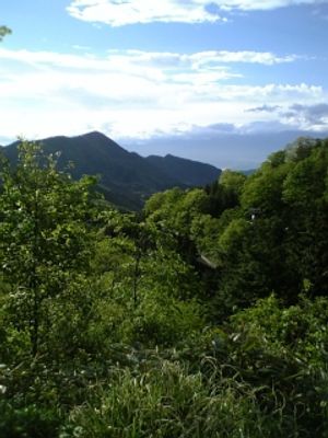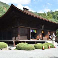
Sasago Pass, Mountain pass in Yamanashi Prefecture, Japan
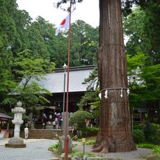
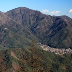
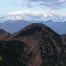
Sasago Pass is a mountain pass on the border of Otsuki and Koshu cities in Yamanashi Prefecture, at an elevation of 1,096 metres. The old Koshu Highway climbs from the Kuroda and Komagai post stations through forest, crossing and recrossing Prefectural Route 212 before reaching the 240-metre Sasago Tunnel, which the old road bypasses on foot. Near the top stands the Yatate-no-Sugi, a hollow cedar about 26 metres tall with a 14.8-metre root circumference.
Sasago Pass lies between the post towns of Kuronoda and Komagai on the Kōshū Kaidō, the Edo-period highway linking Edo with Shimosuwa, and was considered its most difficult crossing. In 1920 the road was designated National Route 8 but routed over Misaka Pass instead, demoting the Sasago road to a prefectural route. The 1938 Sasago Tunnel, 240 m long, ran almost directly beneath the summit, and the 1958 Shin-Sasago Tunnel of 2,953 m took National Route 20 off the pass road.
Sasago Pass is known for Yatate-no-Sugi, a hollow cedar on the Otsuki side with a 14.8 m root circumference and about 26 m height, where warriors reportedly shot arrows to pray for victory before battles; Minamoto no Yoritomo is said to have done the same. In 1817 Katsushika Hokusai drew it in Hokusai Manga, and Utagawa Hiroshige II depicted it in the series of famous views; the image now appears on Sasago mochi sweets sold as a local speciality.
The old Koshu-kaido hiking course starts on the Otsuki side at the Shintashita bus stop, beyond Kuronoda-juku along Route 20, and climbs through mountain paths that repeatedly meet and part from Prefectural Road 212 before reaching the Sasago Tunnel. The old road enters the mountain path beside the tunnel and reaches the pass, where trails branch off toward Mount Sasagagangaharasuri. On the Kofu side, the path crosses several streams before joining the prefectural road near Shimizu Bridge; the old road near the Momonoki Chaya site is closed, so walkers use the prefectural road to reach Komagai-juku.
The pass sits on the boundary between the Gunnai region east of the ridge, which looks toward the Kanto plain, and the Kunin region to the west, which is tied to the Chubu region. The old Koshu Highway was the hardest stretch between Kuro-Noda and Komagai post stations, roughly midway between Edo and Shimosuwa.
The community of curious travelers
AroundUs brings together thousands of curated places, local tips, and hidden gems, enriched daily by 93,830 contributors worldwide.