Bihoro Pass, Mountain pass in Hokkaido, Japan
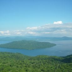
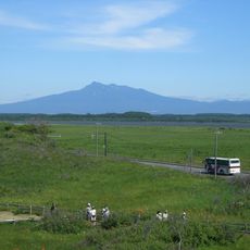
Bihoro Pass is a 525 m high mountain pass on National Route 243, on the western rim of the Kussharo caldera between Bihoro and Teshikaga in Hokkaido. The road crosses a saddle between Mount Mokoto and Mount Samakkarinupuri, and from the pass the 29 km east-west, 20 km north-south caldera and Lake Kussharo lie below.
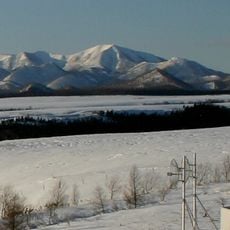
The road over the pass opened in 1920. National Route 243 now crosses the saddle between Mount Okodake and Samakkarinupuri, linking Bihoro to the north with Teshikaga to the south. The pass lies within Akan-Mashu National Park, and the Teshikaga side has many curves, so a 11.2 km stretch from the summit is subject to special traffic regulation in bad weather.
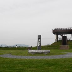
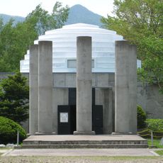
The pass name comes from Ainu "pe-poro" (many waters) or "pi-poro" (many stones). Each May the Bihoro Pass Festival is held here, with a traffic-safety prayer ceremony and a performance of the Ainu ritual dance kamui nomi. A song monument to Misora Hibari's "Bihoro Tōge" stands at the 525 m observation deck.
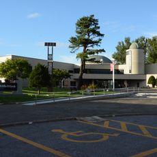
National Route 243 crosses the pass without winter closure, but the Teshikaga side has many curves and the 11.2 km from the summit is a restricted-traffic zone where weather can quickly worsen driving conditions. The summit holds the Michi-no-Eki Gurutto Panorama Bihoro Pass roadside station and the 525 m observation deck.
The pass sits on the western rim of the Kussharo caldera, which measures 29 km east-west and 20 km north-south. The lake below is Japan's largest volcanic caldera lake and the second largest in the world. The pass marks the boundary between the Okhotsk and Kushiro subprefectures.
The community of curious travelers
AroundUs brings together thousands of curated places, local tips, and hidden gems, enriched daily by 93,767 contributors worldwide.