Kamagatani, Natural valley in Ikeda Town, Japan
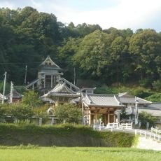
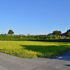
Kamagatani is a roughly two-kilometer valley with steep cliffs formed by erosion on the eastern slope of Mount Ikeda, creating natural terraces across the landscape. The formation features multiple elevation levels along the slope with distinct geological layering.
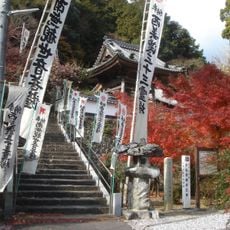
The Ogaki Domain implemented forest protection measures in the valley during the Edo period and planted Yoshino cherry trees. These early plantings established the foundation for the large cherry blossom gatherings seen today.
The valley holds roughly 2000 cherry trees of different types, including Mountain Cherry, Weeping Cherry, and Higan Cherry, which create a striking spring bloom across the landscape.
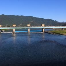
The valley is reachable from Ikino Station on the JR Ogaki Line, followed by roughly 40 minutes walking west or taking the weekday community bus. Comfortable footwear is advisable since the routes traverse various elevation changes.
The name comes from the mist-like appearance that forms when all cherry trees bloom at once amid the tea plantations. This fleeting phenomenon occurs only a few weeks each year and creates a distinctive visual experience.
The community of curious travelers
AroundUs brings together thousands of curated places, local tips, and hidden gems, enriched daily by 60,000 contributors worldwide.