Mount Iimori, Mountain summit in Tannowa, Japan
Mount Iimori is a mountain summit in Osaka Prefecture rising to about 384 meters and offering views across the surrounding landscape of the Misaki region. From the top you can see a patchwork of forested hills, residential areas, and coastal zones that characterize the area.
Mount Iimori forms the western end of the Izumi Range, part of the Kisen Alps. Its slopes hold traces of the Katsuragi Shugendo training grounds and stone markers left from the Yura Fortress zone built by the former Japanese military. A plan for an Osaka Prefectural Natural Park between the prefecture and Misaki town is under consideration.
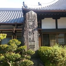
The name Iimori refers to the mountain's shape, which resembles a mound of served rice. Near the summit stand stone markers recalling the Katsuragi Shugendo training grounds and the Yura Fortress zone built by the former Japanese military.
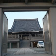
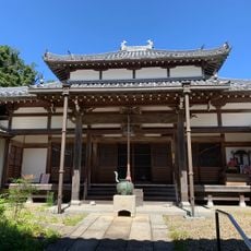
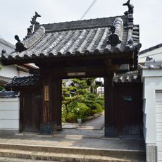
The main approach is a roughly 9.5 km walk from Tannowa Station on the Nankai line, passing Udo burial mound, the Tannowa ruins, Konnosu tomb, Nishitani-ji with its Kenmu Jizo, and the Senkendera site before the summit. The summit is 384.5 m high at the western end of the Izumi range, so the Osaka Bay side drops away steeply.
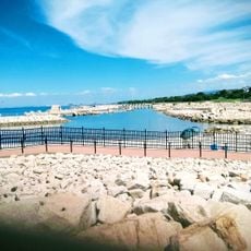
Its position near the coast creates distinct weather conditions that differ from nearby areas, influencing the local air and visibility. On clear days visitors can observe how these conditions shape the sea and coastal zone below.
The community of curious travelers
AroundUs brings together thousands of curated places, local tips, and hidden gems, enriched daily by 94,369 contributors worldwide.