
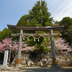
Kamo Shrine, kuil Shinto di Jepang
Location: Nagano
Inception: 685
Founders: 美濃王
GPS coordinates: 36.68894,137.96706
Latest update: September 23, 2025 14:03
Togakushi Shrine
12.1 km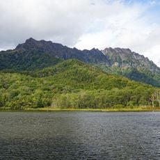
Mount Togakushi
12 km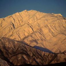
Mount Karamatsu
19 km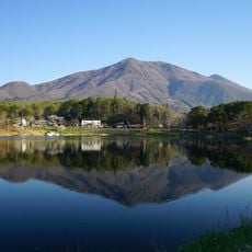
Mount Iizuna
15.9 km
Shinshūshinmachi
13.9 km
Mount Jizuki
19.6 km
Nagano prefectural government
19.6 km
Tsugaike Kōgen
10.8 km
Nagano Chausuyama Zoo
17.5 km
Iizuna Highlands
16.7 km
Nagano Prefectural Government Office
19.6 km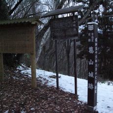
Katsurayama Castle
17.9 km
Ōmine Castle
18.8 km
Tsugaike Nature Park
16.5 km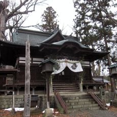
Tsumashina Shrine
19.3 km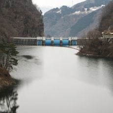
Susobana Dam
13.8 km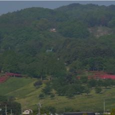
Chausuyama Dinasour Park
17.8 km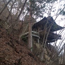
Yakushi-jinja
19.9 km
Suzakura-jinja
17.4 km
Yasaka Shrine
19.9 km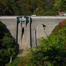
Okususobana Dam
4 km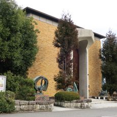
信州新町美術館
13.9 km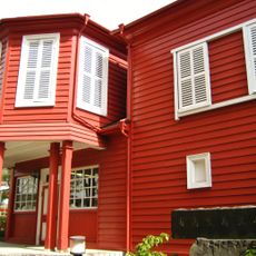
有島生馬記念館
13.9 km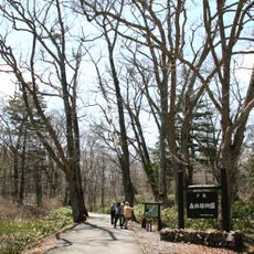
Togakushi Forest Botanical Garden
12.1 km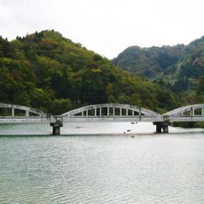
姬川橋
14.7 km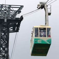
Tsugaike Ropeway
15.4 km
Hakuba Village Library
9.3 km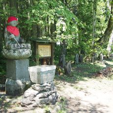
Stone Buddhas in Kannonbara
9.7 kmReviews
Visited this place? Tap the stars to rate it and share your experience / photos with the community! Try now! You can cancel it anytime.
Discover hidden gems everywhere you go!
From secret cafés to breathtaking viewpoints, skip the crowded tourist spots and find places that match your style. Our app makes it easy with voice search, smart filtering, route optimization, and insider tips from travelers worldwide. Download now for the complete mobile experience.

A unique approach to discovering new places❞
— Le Figaro
All the places worth exploring❞
— France Info
A tailor-made excursion in just a few clicks❞
— 20 Minutes