
Mount Myōken, Berggipfel in Japan
Location: Kamogawa
Elevation above the sea: 300 m
GPS coordinates: 35.16222,140.15222
Latest update: March 23, 2025 10:07

行川島
8.7 km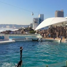
Kamogawa Sea World
5.9 km
Osenkorogashi
8.3 km
Tanjō-ji
6.5 km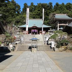
Seichō-ji
145 m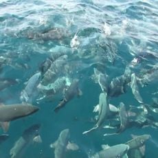
Tainoura
6 km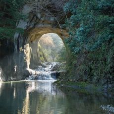
Nōmizo Falls
8.8 km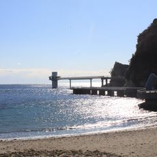
Katsuura Undersea Park
12.4 km
Kameyama Dam
9.7 km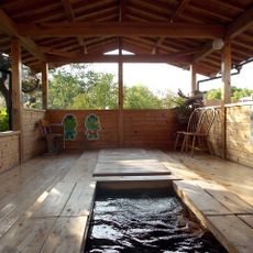
Yōrō-keikoku Onsen
10.3 km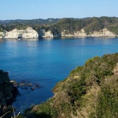
Ubara Utopia
11.7 km
Kastuura Morning Market
14.9 km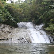
Awamata Falls
7 km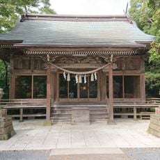
Tomisaki Shrine
15 km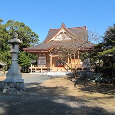
Kyōnin-ji
6.3 km
Yōrō Keikoku Okukiyosumi Prefectural Natural Park
10.6 km
Mishima Dam
13.2 km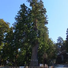
Great Cedar of Kiyosumi
244 m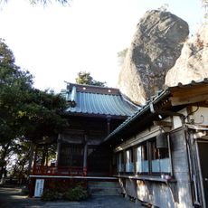
Kannon-ji
7.8 km
Toyofusa Dam
12.4 km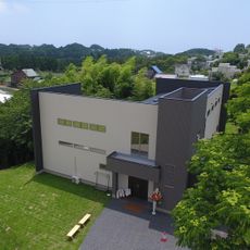
SGT Museum
10.4 km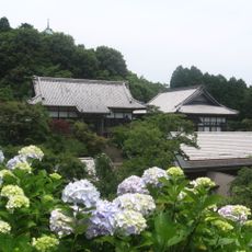
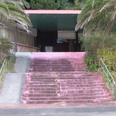
Myōhōshō-ji
1.9 km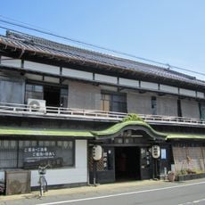
旅館松の家
15 km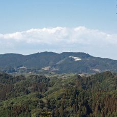
Mineokasankei Prefectural Natural Park
12.2 km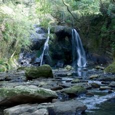
Tashiro Daki
9.5 km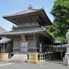
Hongyō-ji
15 km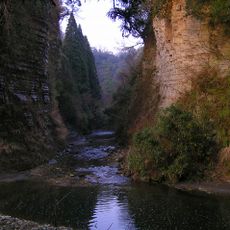
Yōrō Gorge
10.6 km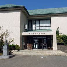
Kamogawa City Folk Museum
7.3 kmReviews
Visited this place? Tap the stars to rate it and share your experience / photos with the community! Try now! You can cancel it anytime.
Discover hidden gems everywhere you go!
From secret cafés to breathtaking viewpoints, skip the crowded tourist spots and find places that match your style. Our app makes it easy with voice search, smart filtering, route optimization, and insider tips from travelers worldwide. Download now for the complete mobile experience.

A unique approach to discovering new places❞
— Le Figaro
All the places worth exploring❞
— France Info
A tailor-made excursion in just a few clicks❞
— 20 Minutes