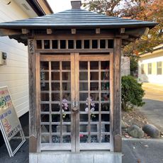
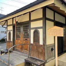
小岩市川関所, Former checkpoint in Koiwa, Japan
The Koiwa-Ichikawa Sekisho was a checkpoint that monitored both road and river traffic along the Edo River. It served as a strategic inspection post where officials screened travelers and goods moving between different regions.
The checkpoint was established in 1616 by the Tokugawa shogunate, initially functioning as a boat station. It later became a formal inspection post during the Manji period.
Travelers needed special permits from local authorities to pass through this checkpoint, showing how strictly movement was controlled during Japan's feudal period. These rules shaped how people moved between regions and what documents they had to carry.
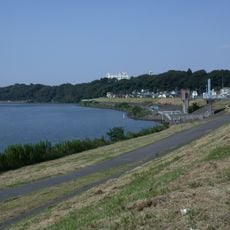
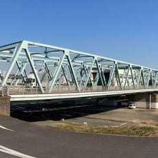
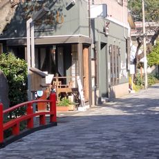
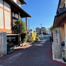
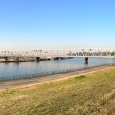
The checkpoint site is located about 50 meters south of the Keisei Railway Bridge on the Edogawa River embankment. It is easily accessible from Edogawa Station.
In May 1868, the checkpoint area became a battlefield during the Koiwa-Ichikawa War between Imperial and shogunate forces. This clash marked a turning point as the old feudal system gave way to modern Japan.
The community of curious travelers
AroundUs brings together thousands of curated places, local tips, and hidden gems, enriched daily by 60,000 contributors worldwide.