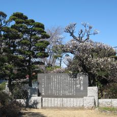
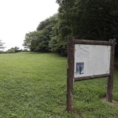
明戸古墳, Ancient burial mound in Chiba Prefecture, Japan
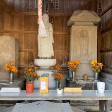
Akodo Kofun is a keyhole-shaped burial mound in Chiba Prefecture with two stone chambers built on its southern side. These chambers sit roughly 10 meters apart and are constructed from local tuffaceous sandstone that contains visible fossilized shells.
This burial mound dates to the late 7th century during the Final Tumulus period, representing the end of an era when such structures were built. It reflects the changes in burial practices that marked the transition to a new age.
The stone chambers were constructed using tuffaceous sandstone containing numerous fossilized shells, reflecting the geological characteristics of the region.
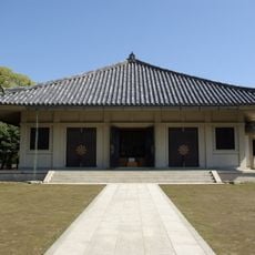
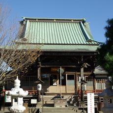
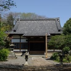
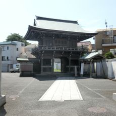
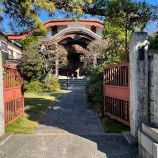
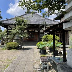
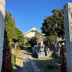
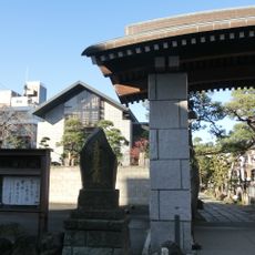
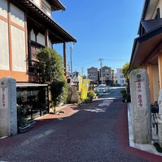
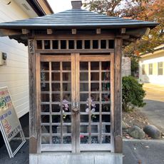
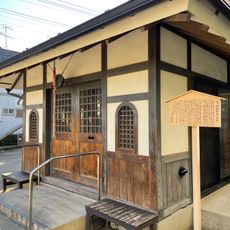
The site sits on a plateau roughly 30 meters above the Inba-numa Marsh, which offers a slight elevation to consider when visiting. Today the location is protected and managed by a nearby temple that welcomes visitors to the grounds.
The stone chambers are built from tuffaceous sandstone rich in fossilized shells, a material choice that speaks to the geology of the area. This stone was practical to use because it could be quarried locally rather than transported from afar.
The community of curious travelers
AroundUs brings together thousands of curated places, local tips, and hidden gems, enriched daily by 60,000 contributors worldwide.