
Koch'ŏndŏk, Berggipfel in Nordkorea
Location: North Hwanghae Province
GPS coordinates: 38.87667,126.70861
Latest update: March 4, 2025 04:15
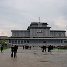
Kumsusan Palace of the Sun
82.3 km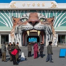
Korea Central Zoo
80.4 km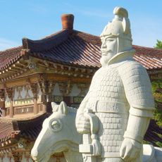
Tomb of King Tongmyong
68.1 km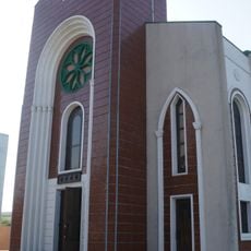
Changchung Cathedral
81.9 km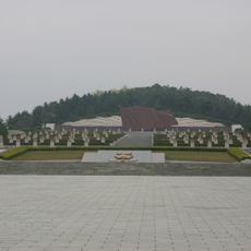
Taesongsan
78.3 km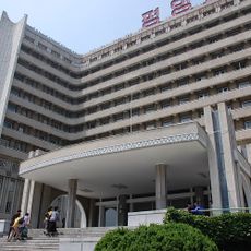
Pyongyang Maternity Hospital
82 km
Mausoleum of Tangun
64.5 km
Sogwangsa
60.8 km
Pyongyang Folklore Park
79.2 km
Taesongsan Funfair
79.3 km
East Pyongyang Stadium
77.1 km
Kwangbŏpsa
80 km
Central Botanical Garden
80.1 km
Ullim Falls
51.7 km
Songdowŏn
69.9 km
Pongnae-ho
66 km
Pukmang Tower
70 km
Ŏbusan-jŏsuji
73.8 km
Chuktae-ho
67.2 km
Ŏryong-jŏsuji
69.9 km
Puch'ŏn-jŏsuji
64.8 km
Sindang-jŏsuji
47.1 km
Yŏnt'an-ho
57.8 km
Pongdŏk-chŏsuji
78.3 km
Kamdun-jŏsuji
69.5 km
Sanbuk-chŏsuji
28.5 km
Oryu-jŏsuji
12.2 km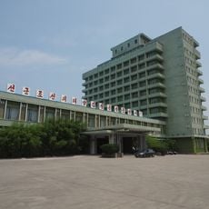
Songdowon Hotel
70.7 kmReviews
Visited this place? Tap the stars to rate it and share your experience / photos with the community! Try now! You can cancel it anytime.
Discover hidden gems everywhere you go!
From secret cafés to breathtaking viewpoints, skip the crowded tourist spots and find places that match your style. Our app makes it easy with voice search, smart filtering, route optimization, and insider tips from travelers worldwide. Download now for the complete mobile experience.

A unique approach to discovering new places❞
— Le Figaro
All the places worth exploring❞
— France Info
A tailor-made excursion in just a few clicks❞
— 20 Minutes