Borjjasoaivi, mountain in Bardu and Målselv, Troms, Norway
Location: Bardu Municipality
Location: Målselv Municipality
Elevation above the sea: 930 m
GPS coordinates: 68.56160,19.72958
Latest update: May 4, 2025 07:18

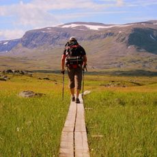
Kungsleden
44.9 km
Raising the Flag on the Three-Country Cairn
64.5 km
Three-Country Cairn
64.5 km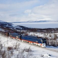
Iron Ore Line
40.1 km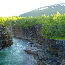
Abisko National Park
50.4 km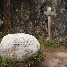
Dag Hammarskjöldsleden
45 km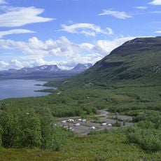
Njullá
47.1 km
Øvre Dividal National Park
16.4 km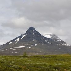
Pältsan
53.5 km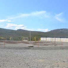
Kilpisjärvi Atmospheric Imaging Receiver Array
70.3 km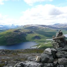
Malla Strict Nature Reserve
67.5 km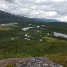
Vadvetjåkka National Park
52.9 km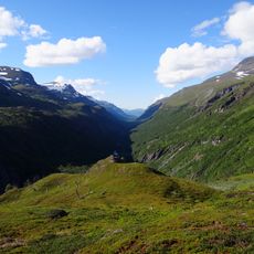
Rohkunborri National Park
31.2 km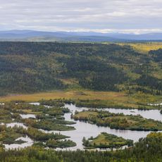
Rautas fjällurskog
61.2 km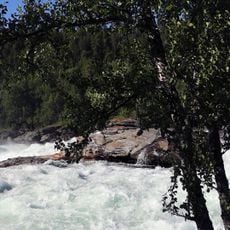
Målselvfossen
68.2 km
Kitsiputous
68.1 km
Hyllestad quernstone quarries
65.6 km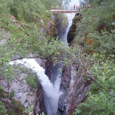
Silverfallet, Björkliden
45.8 km
Abiskojaure
54.5 km
Kilpisjärvi Biological Station
68.9 km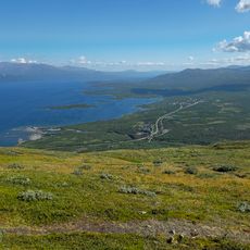
Aurora Sky Station
46.8 km
Gränsförsvarsmuseum
44.8 km
Abisko naturvet. station
43.6 km
Stordalen
36.5 km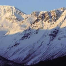
Halvorfjellet
70 km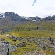
Låktatjåkka
56.9 km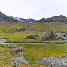
Gearggejohka
60.4 km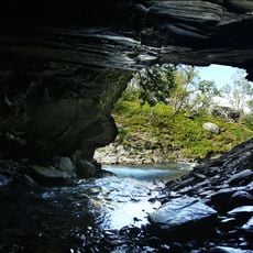
Björklidengrottan
46.7 kmReviews
Visited this place? Tap the stars to rate it and share your experience / photos with the community! Try now! You can cancel it anytime.
Discover hidden gems everywhere you go!
From secret cafés to breathtaking viewpoints, skip the crowded tourist spots and find places that match your style. Our app makes it easy with voice search, smart filtering, route optimization, and insider tips from travelers worldwide. Download now for the complete mobile experience.

A unique approach to discovering new places❞
— Le Figaro
All the places worth exploring❞
— France Info
A tailor-made excursion in just a few clicks❞
— 20 Minutes