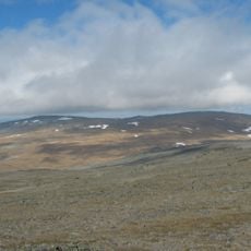
Raššavarri, Berggipfel in Norwegen
Location: Storfjord Municipality
GPS coordinates: 69.24222,20.71972
Latest update: April 29, 2025 07:11
Halti
22.6 km
Raising the Flag on the Three-Country Cairn
21.4 km
Saana
22.8 km
Three-Country Cairn
21.4 km
Jiehkkevárri
41.6 km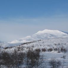
Govddošgáisi
17.9 km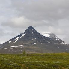
Pältsan
32.7 km
Kilpisjärvi Atmospheric Imaging Receiver Array
19.2 km
Malla Strict Nature Reserve
19.6 km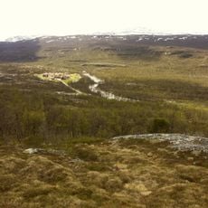
Helligskogen
4.1 km
Pitsusköngäs
22.5 km
Gorsa Bridge
20.4 km
Kitsiputous
19.4 km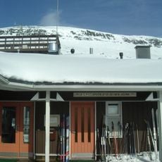
Kilpisjärvi Biological Station
22.4 km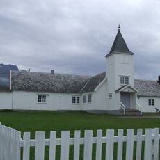
Skibotn Chapel
24.3 km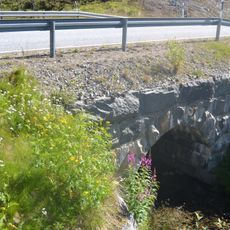
Ahdaskuru Bridge
18.3 km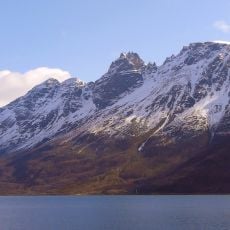
Storfjorden
28.8 km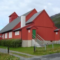
Kåfjord Church
40.6 km
Kåfjorden
28.7 km
Kveita
41 km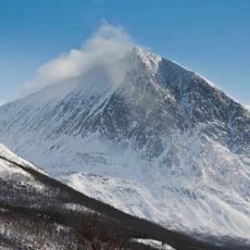
Durmålstind
40.3 km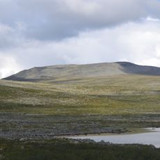
Duolljehuhput
21.7 km
Sandeng hjelpekirkegård
33.6 km
Birtavarre
29 km
Skipet
37.6 km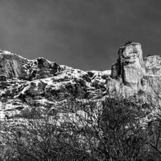
Jiehtanas
37.4 km
Skibotn markedsplass
24.4 km
Handelsplass
24.4 kmReviews
Visited this place? Tap the stars to rate it and share your experience / photos with the community! Try now! You can cancel it anytime.
Discover hidden gems everywhere you go!
From secret cafés to breathtaking viewpoints, skip the crowded tourist spots and find places that match your style. Our app makes it easy with voice search, smart filtering, route optimization, and insider tips from travelers worldwide. Download now for the complete mobile experience.

A unique approach to discovering new places❞
— Le Figaro
All the places worth exploring❞
— France Info
A tailor-made excursion in just a few clicks❞
— 20 Minutes