
Bargarden, protected area in Norway
Location: Luster Municipality
Inception: December 17, 1999
GPS coordinates: 61.45000,7.48200
Latest update: August 9, 2025 13:39
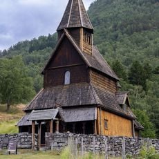
Urnes Stave Church
18.9 km
Store Skagastølstind
20.8 km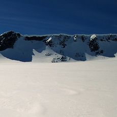
Fannaråki
23.9 km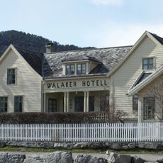
Walaker Hotell
20.7 km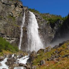
Feigefossen
8 km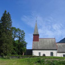
Dale Church
1.7 km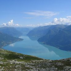
Lustrafjorden
19.7 km
Jervvasstind
22.9 km
Vetle Skagastølstind
20.9 km
Sentraltind
21.4 km
Munthehuset
12.7 km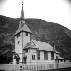
Gaupne Church
11.3 km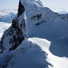
Store Austanbottstind
16.8 km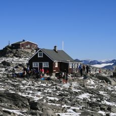
Fannaråkhytta
23.8 km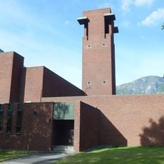
Farnes Church
23.1 km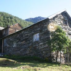
Ormelid
19.8 km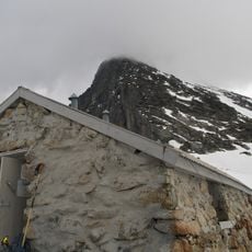
Skagastølsbu
20.1 km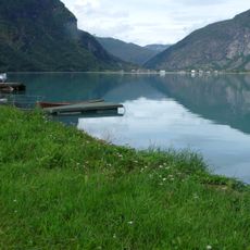
Gaupnefjorden
11.5 km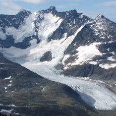
Styggedalsbreen
21.6 km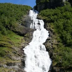
Hjellefossen
24.6 km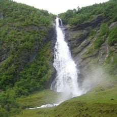
Avdalsfossen
24 km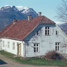
Flahammer
4.8 km
Drivandefossen
11.6 km
Ormelifossen
20.3 km
Christianelyst
20.9 km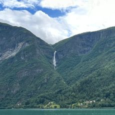
Mordølefossen
4.1 km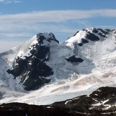
Gjertvassbreen
22.3 km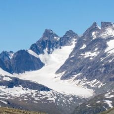
Maradalsbreen
23.1 kmReviews
Visited this place? Tap the stars to rate it and share your experience / photos with the community! Try now! You can cancel it anytime.
Discover hidden gems everywhere you go!
From secret cafés to breathtaking viewpoints, skip the crowded tourist spots and find places that match your style. Our app makes it easy with voice search, smart filtering, route optimization, and insider tips from travelers worldwide. Download now for the complete mobile experience.

A unique approach to discovering new places❞
— Le Figaro
All the places worth exploring❞
— France Info
A tailor-made excursion in just a few clicks❞
— 20 Minutes