Saxon Axis, Urban planning complex in Warsaw, Poland
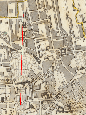
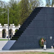
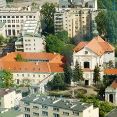
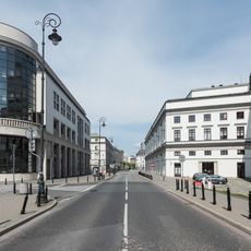
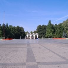
The Saxon Axis is an urban complex stretching from Krakowskie Przedmieście to Iron Gate Square through Saxon Garden. It connects several protected buildings and public spaces, including the Tomb of the Unknown Soldier and the reconstructed Saxon Palace.
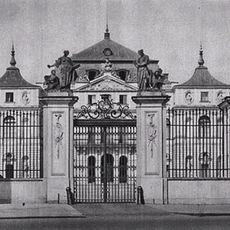
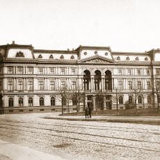
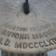
Development of this urban layout began in 1713 under Augustus II the Strong as Warsaw's first large-scale planning project. The ensemble was heavily destroyed and later reconstructed in the post-war period, with many buildings rebuilt from historical records.
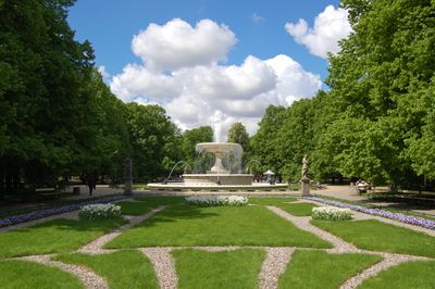
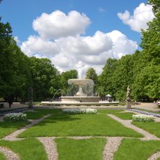
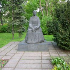
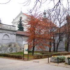
The garden at the heart of this axis became a gathering place where Warsaw residents walked and spent time together. The statues scattered throughout show classical figures and still shape how people experience this public space today.
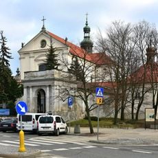
The axis can be explored on foot with multiple entry points from surrounding streets. The best way to see everything is to walk from one end to the other, passing through the different protected areas along the way.
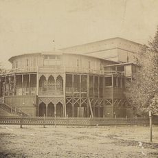
The project blended residential functions with military and communication spaces, creating a multifunctional urban zone for its time. This mix of different uses was unusual for a baroque planning project in the early 1700s.
Location: Warsaw
Location: Śródmieście
GPS coordinates: 52.24060,21.00860
Latest update: December 8, 2025 19:52
Tomb of the Unknown Soldier, Warsaw
198 m
Brühl Palace, Warsaw
213 m
Saxon Garden
5 m
Zachęta
230 m
Monument to the victims of 2010 Smolensk air crash in Warsaw
276 m
Kronenberg Palace in Warsaw
298 m
Church of St. Anthony of Padua in Warsaw
287 m
Große Fontäne
113 m
Summer Theatre in the Saxon Garden
245 m
Maria Konopnicka Monument in Warsaw
209 m
Peowiak Monument
282 m
Sundial in the Saxon Garden
90 m
Centrum Królewska
292 m
Gmach Banku Zachodniego w Warszawie
186 m
Biblioteka Materiałów Orkiestrowych
167 m
Poland. Centralne Biuro Wystaw Artystycznych
240 m
Blok przy Kredytowej 8 w Warszawie
298 m
Sybil Temple
116 m
Building of the Zachęta National Gallery of Art
243 m
Zespół klasztorny reformatów
291 m
Discount Bank building in Warsaw
170 m
Wierzbowa Street
280 m
Western Bank building in Warsaw
192 m
Małachowski Square in Warsaw
297 m
Oficyna kamienicy Maksymiliana Gurewicza
206 m
Kaplica przedpogrzebowa zespołu klasztornego reformatów
291 m
Plac Piłsudskiego - założenie urbanistyczne
289 m
Ogród pałacu Błękitnego
272 mVisited this place? Tap the stars to rate it and share your experience / photos with the community! Try now! You can cancel it anytime.
Discover hidden gems everywhere you go!
From secret cafés to breathtaking viewpoints, skip the crowded tourist spots and find places that match your style. Our app makes it easy with voice search, smart filtering, route optimization, and insider tips from travelers worldwide. Download now for the complete mobile experience.
A unique approach to discovering new places❞
— Le Figaro
All the places worth exploring❞
— France Info
A tailor-made excursion in just a few clicks❞
— 20 Minutes