Chest opened
+${chestReward.xp} XP
Explorer
NOUVEAU ×${chestReward.collectible.quantity}
tapez pour fermer
Chest locked

Open chests in the app

Around Us is built for your phone — chests unlock when you walk, explore and capture nearby places.

Enable Location

We need your location to show you interesting places around you

Discover nearby places

Find interesting locations and hidden gems around you

Precise directions

Get accurate directions and distances to places

Your location is never shared with other users. It's only used when you tap the location button.

Uralsky, Sverdlovsk Oblast

Log in to your account

Start exploring — it's free

Trusted by 73,022 travelers worldwide

Continue with Google
Continue with Apple
or

We will send you a code to connect

By continuing, you accept our Terms and Conditions and our Privacy Policy

Check your inbox

We've sent a pincode in your inbox. Please enter the code below.

Uralsky, Sverdlovsk Oblast
Discussion Reviews 1 Photos
11.4k Popularity

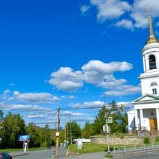
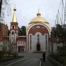
Uralsky, Sverdlovsk Oblast, Urban settlement in Sverdlovsk Oblast, Russia

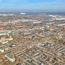
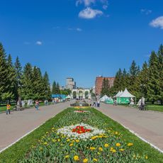
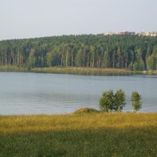
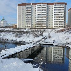
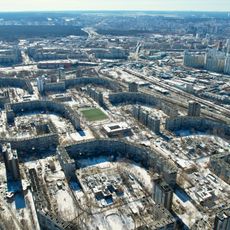
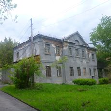
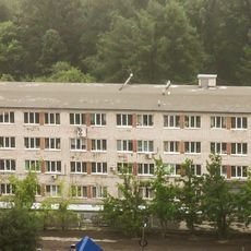
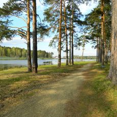
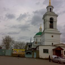
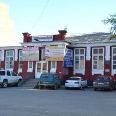
Uralsky is a small urban-type settlement in Sverdlovsk Oblast, located roughly 30 kilometers southeast of Yekaterinburg. The community comprises residential buildings, local shops, and basic services arranged in a compact, modest layout.

The settlement was established in 1960 during Soviet-era development of the region. It received urban-type status in 1994.

The settlement follows traditional Russian administrative patterns with a structured municipal system operating under the Uralsky Urban Okrug designation.

The settlement is easiest to reach by car, as public transportation options are limited. Visitors should plan any shopping or breaks ahead of time, since local shops have restricted hours.

The settlement functions as a closed administrative-territorial formation, operating with specific entry and residence regulations different from standard Russian municipalities.

The community of curious travelers

AroundUs brings together thousands of curated places, local tips, and hidden gems, enriched daily by 60,000 contributors worldwide.

Start exploring
Inception
1960
GPS coordinates
56.67889,61.08444
Latest update
December 8, 2025 13:41
Around this place
Talkov kamen Lake
Russian Federation

Talkov kamen Lake

30.1 km
Химмаш (Екатеринбург)
Russian Federation

Химмаш (Екатеринбург)

24.7 km
Staraya Linza Quarry
Russian Federation

Staraya Linza Quarry

29.9 km
Uktus
Russian Federation

Uktus

29.2 km
Majakovsky Park in Yekaterinburg
Russian Federation

Majakovsky Park in Yekaterinburg

30.7 km
Beloyarskoye Vodokhranilishche
Russian Federation

Beloyarskoye Vodokhranilishche

20.9 km
Елизавет
Russian Federation

Елизавет

29.3 km
Komsomolsky District
Russian Federation

Komsomolsky District

29.9 km
Nizhneisetskiy orphanage
Russian Federation

Nizhneisetskiy orphanage

25.2 km
Institute of Plant and Animal Ecology
Russian Federation

Institute of Plant and Animal Ecology

25.7 km
Church of the Transfiguration, Yekaterinburg
Russian Federation

Church of the Transfiguration, Yekaterinburg

28.9 km
Ramadan Mosque
Russian Federation

Ramadan Mosque

25.1 km
Temple of the Kazan icon of the Mother of God
Russian Federation

Temple of the Kazan icon of the Mother of God

25.3 km
Nizhneisetskiy pond
Russian Federation

Nizhneisetskiy pond

26 km
BI-1 Monument in Yekaterinburg
Russian Federation

BI-1 Monument in Yekaterinburg

19 km
Church of Saint Elisabeth, Yekaterinburg
Russian Federation

Church of Saint Elisabeth, Yekaterinburg

29.7 km
Church of Simeon and Anna
Russian Federation

Church of Simeon and Anna

26.4 km
Malyi istok
Russian Federation

Malyi istok

19.9 km
Არამილის სამების ტაძარი
Russian Federation

Არამილის სამების ტაძარი

15.7 km
Palace of Culture Khimmash
Russian Federation

Palace of Culture Khimmash

25.3 km
Dam of the Lower Iset Pond
Russian Federation

Dam of the Lower Iset Pond

25.2 km
Uktussky bridge
Russian Federation

Uktussky bridge

28.4 km
Lower Iset Works Direction Building
Russian Federation

Lower Iset Works Direction Building

25.1 km
Sports and Technology Club, Yekaterinburg
Russian Federation

Sports and Technology Club, Yekaterinburg

25.2 km
Church of the Purification of the Blessed Virgin Mary, Staropyshminsk
Russian Federation

Church of the Purification of the Blessed Virgin Mary, Staropyshminsk

30.3 km
Памятник воспитанникам Нижнеисетского детского дома, погибшим на фронтах Великой Отечественной войны
Russian Federation

Памятник воспитанникам Нижнеисетского детского дома, погибшим на фронтах Великой Отечественной войны

25.2 km
Пантелеимоновская церковь (Екатеринбург)
Russian Federation

Пантелеимоновская церковь (Екатеринбург)

27.6 km
Комсомольский сквер
Russian Federation

Комсомольский сквер

24.5 km
Show the full map
Reviews
Share your experience

No review yet

Discussions
Start a discussion...

No discussion yet

« Uralsky, Sverdlovsk Oblast - Urban settlement in Sverdlovsk Oblast, Russia » is provided by Around Us (aroundus.com). Images and texts are derived from Wikimedia project under a Creative Commons license. You are allowed to copy, distribute, and modify copies of this page, under the conditions set by the license, as long as this note is clearly visible.

Discover hidden gems everywhere you go!

From secret cafés to breathtaking viewpoints, skip the crowded tourist spots and find places that match your style. Our app makes it easy with voice search, smart filtering, route optimization, and insider tips from travelers worldwide. Download now for the complete mobile experience.

Around Us App Screenshot

A unique approach to discovering new places

Le Figaro

All the places worth exploring

France Info

A tailor-made excursion in just a few clicks

20 Minutes

Around Us
Travel Guide & Maps
Download

Send to your phone

QR Code
1

Open the camera app on your mobile.

2

Point at the QR code with your camera. A notification will appear.

3

Tap the notification to open the link.