共青农村居民点, human settlement in Pallasovsky District, Volgograd Oblast, Russia
Location: Pallasovsky District
Capital city: Komsomolsky
GPS coordinates: 49.54111,46.75667
Latest update: May 14, 2025 04:59

Stepan Razin Cliff
142.4 km
Petrov Val canal
128.3 km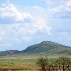
Bolshoye Bogdo
155.9 km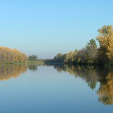
Volga-Akhtuba Floodplain
164.3 km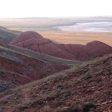
Bogdinsko-Baskunchakski Nature Reserve
148.3 km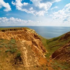
Alexander Graben
123.8 km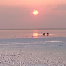
Eltonsky Nature Park
45.6 km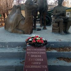
Мы победили! (памятник)
146.4 km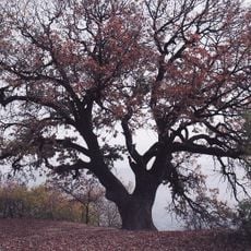
Patriarch Oak
148.5 km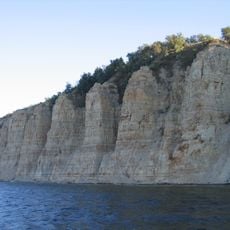
Stolbichi
127.2 km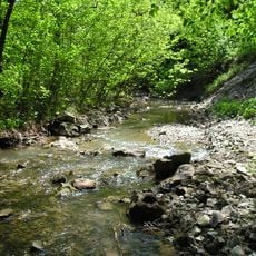
Щербаковская балка
130.4 km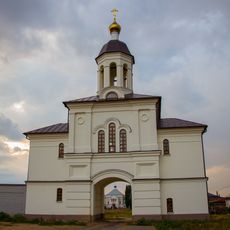
Dubovsky Ascension Monastery
152.9 km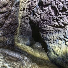
Baskunchakskaya Cave
140.1 km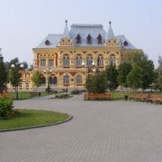
Zemstvo of Kamyshin
113.6 km
Мемориальный комплекс «Крыло Икара»
147 km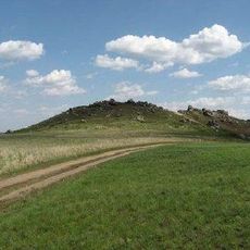
Камышинские горы Уши и Лоб
122.2 kmХрам Великой Победы (Большой Царын)
146.1 km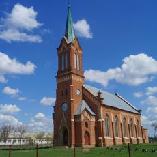
Lutheran church, Verkhny Eruslan
108.7 km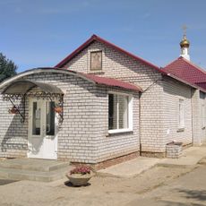
Церковь Михаила Архангела (Ахтубинск)
145 km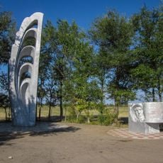
German Titov qo‘ngan joydagi yodgorlik
147.2 km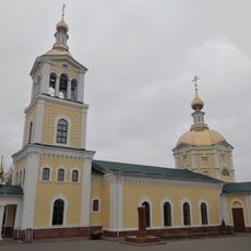
Նիկոլսկի մայր տաճար
113.9 km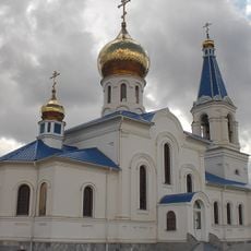
Our Lady of Vladimir Church
122.2 km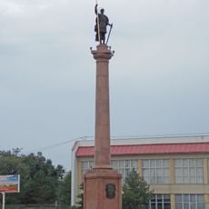
Კამიშინის დიმიტრი თესალონიკელის ძეგლი
114.1 km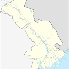
Solonchak
144.7 km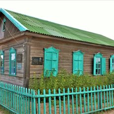
Орда баспаханасының үйі
98.8 km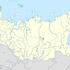
Kochevaya
144.2 km
Razezd 15 km
144.8 km
House of Merchants Konyakins
147.5 kmVisited this place? Tap the stars to rate it and share your experience / photos with the community! Try now! You can cancel it anytime.
Discover hidden gems everywhere you go!
From secret cafés to breathtaking viewpoints, skip the crowded tourist spots and find places that match your style. Our app makes it easy with voice search, smart filtering, route optimization, and insider tips from travelers worldwide. Download now for the complete mobile experience.

A unique approach to discovering new places❞
— Le Figaro
All the places worth exploring❞
— France Info
A tailor-made excursion in just a few clicks❞
— 20 Minutes