
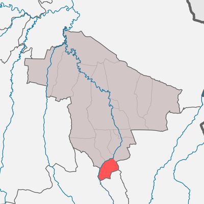
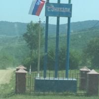
Эникалинское сельское поселение
Эникалинское сельское поселение, human settlement in Kurchaloyevsky District, Chechen Republic, Russia
Location: Kurchaloyevsky District
Capital city: Enikali
GPS coordinates: 43.07444,46.15250
Latest update: March 21, 2025 15:47

Kezenoyam
33.1 km
Pride of Muslims
22.1 km
Aymani Kadyrova Mosque
32.7 km
Church of the Theotokos of the Sign
39.7 km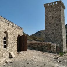
Хой (башня)
35.8 km
Sultan Delimkhanov Mosque
29.8 km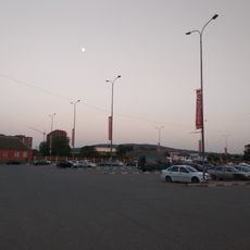
Сюйр-Корт
40.3 km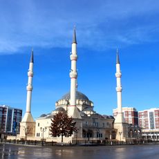
Kurchaloy Mosque
15.2 km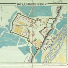
Vozdvizhenskoye
34.7 km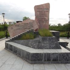
Monument to the Victims of Stalinism Chechens Akkin
30.2 km
Geldegan Mosque
18.1 km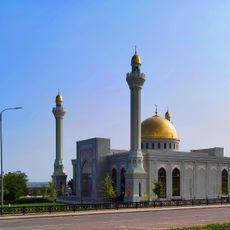
Oyskhara Mosque
22 km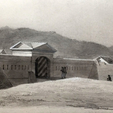
Gerzel-aul
27.8 km
Urus-Martanovsky Zakaznik
41.7 km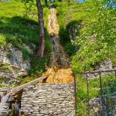
Харачойский водопад
17.5 km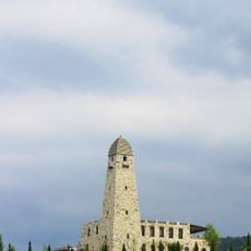
Махкетинский краеведческий музей
23.6 km
Avtury Mosque
15.7 km
Айдамиров Абузаран Литературин-мемориалан музей
19.8 km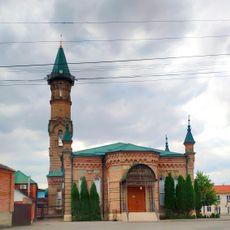
Juma Mosque (New Atagi)
31.5 km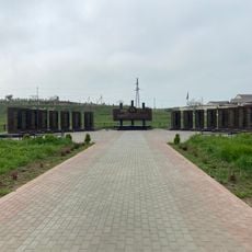
Мемориальный комплекс участникам ВОВ
30.4 km
Крепость Ведено
12.9 km
Mayrtup Cuma Mosque
15 km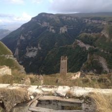
Харкаройская боевая башня
39.6 km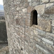
Makazhoy Historical and Architectural Complex
38 km
Yurd-Aux məscidi
33.7 km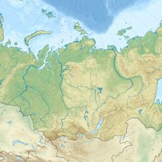
Canta-Aukh
35.3 km
Benoy Mosque
16.9 km
Аквапарк
31.6 kmReviews
Visited this place? Tap the stars to rate it and share your experience / photos with the community! Try now! You can cancel it anytime.
Discover hidden gems everywhere you go!
From secret cafés to breathtaking viewpoints, skip the crowded tourist spots and find places that match your style. Our app makes it easy with voice search, smart filtering, route optimization, and insider tips from travelers worldwide. Download now for the complete mobile experience.

A unique approach to discovering new places❞
— Le Figaro
All the places worth exploring❞
— France Info
A tailor-made excursion in just a few clicks❞
— 20 Minutes