
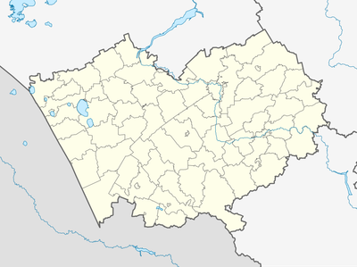
Shadrukha, human settlement in Altai Krai, Russia
Location: Шадрухинский сельсовет
GPS coordinates: 51.16432,79.96189
Latest update: June 17, 2025 15:39
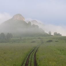
Tigireksky Nature Reserve
212.2 km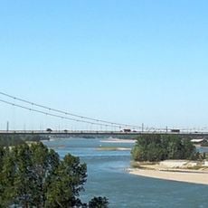
Semipalatinsk Bridge
86 km
State Forest Nature Reservat "Semey Ormany"
72.8 km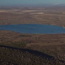
Beloy Lake, Altai Krai
187.7 km
Usine de taille de pierre de Kolyvan
182.6 km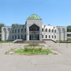
Abai Literary Memorial Museum
86.5 km
Алтайский оптико-лазерный центр имени Г. С. Титова
154 km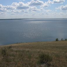
Gilevskoye Vodokhranilishche
135.9 km
Лава
216.9 km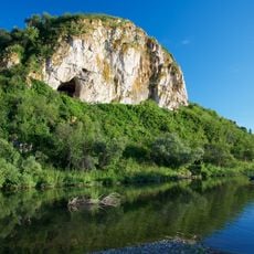
Chagyrskaya Cave
224.4 km
Enlik-Kebek
203 km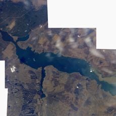
Schülbi-Talsperre
140.9 km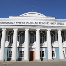
East Kazakhstan Regional Museum of Fine Arts Named for the Nevzorov family
87.3 km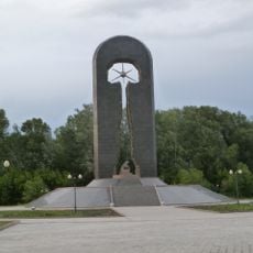
Stronger Than Death
88.5 km
State Forest Nature Reservat "Ertis Ormany"
108 km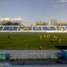
Stadion Spartak w Semeju
85.7 km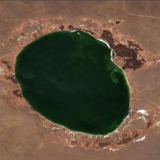
Borli
155.7 km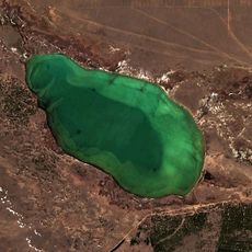
Tuz (Akkuly District)
93.8 km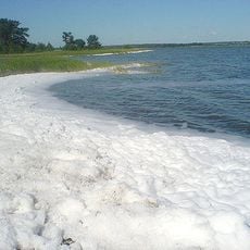
Gorkoye Lake
156.4 km
Novoshūl'ba Aūdany
118.2 km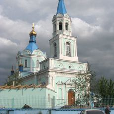
Cathedral of the Resurrection
85.9 km
Shar Aūdany
199.4 km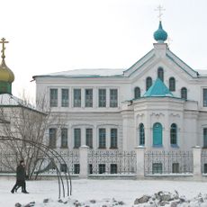
The Peter and Paul Abalatsko-Znamensky Monastery
87.7 km
Kilty, Altai Krai
171.5 km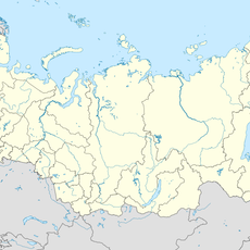
Kolos, Novoalexandrovsky Selsoviet, Rubtsovsky District, Altai Krai
86 km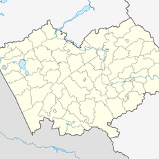
Novosovkhozny
183.6 km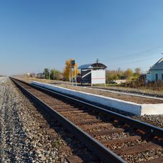
Traktorny
100.4 km
Гоноховський
225.5 kmReviews
Visited this place? Tap the stars to rate it and share your experience / photos with the community! Try now! You can cancel it anytime.
Discover hidden gems everywhere you go!
From secret cafés to breathtaking viewpoints, skip the crowded tourist spots and find places that match your style. Our app makes it easy with voice search, smart filtering, route optimization, and insider tips from travelers worldwide. Download now for the complete mobile experience.

A unique approach to discovering new places❞
— Le Figaro
All the places worth exploring❞
— France Info
A tailor-made excursion in just a few clicks❞
— 20 Minutes