
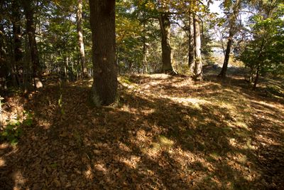
Brännkyrka 19:2, stone setting in Stockholm Municipality, Stockholm County, Sweden
Location: Stockholm Municipality
GPS coordinates: 59.30404,18.04437
Latest update: March 8, 2025 07:41

Årstabroarna
571 m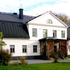
Årsta gård
187 m
Årsta holmar
292 m
Kajen 4
685 m
Kajplats 6
559 m
Årstalundens reservoar
814 m
EPA-husen
631 m
Molitors malmgård
696 m
Årstafruns park
587 m
K7
502 m
Årstaskogen och Årsta holmars naturreservat
520 m
Storängsparken
650 m
Snigelparken
526 m
Årsta kvarn
90 m
Årsta Bridge northeast
255 m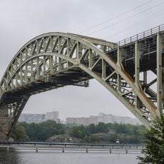
Östra Årstabron
410 m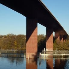
Västra Årstabron
410 m
Årsta Bridge southeast
228 m
Årsta Bridge northwest
545 m
Årsta Bridge southwest
529 m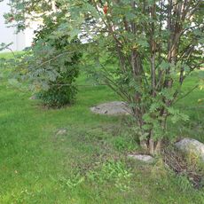
Brännkyrka 20:2
502 m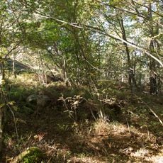
Brännkyrka 19:1
13 m
Brännkyrka 17:1
303 m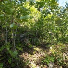
Brännkyrka 16:2
246 m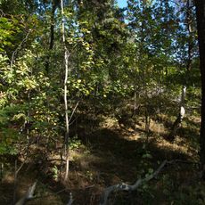
Brännkyrka 16:1
226 m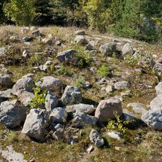
Brännkyrka 9:1
629 m
Brännkyrka 7:2
788 m
Brännkyrka 20:1
543 mReviews
Visited this place? Tap the stars to rate it and share your experience / photos with the community! Try now! You can cancel it anytime.
Discover hidden gems everywhere you go!
From secret cafés to breathtaking viewpoints, skip the crowded tourist spots and find places that match your style. Our app makes it easy with voice search, smart filtering, route optimization, and insider tips from travelers worldwide. Download now for the complete mobile experience.

A unique approach to discovering new places❞
— Le Figaro
All the places worth exploring❞
— France Info
A tailor-made excursion in just a few clicks❞
— 20 Minutes