Årsta holmar, Nature reserve in Stockholm, Sweden.
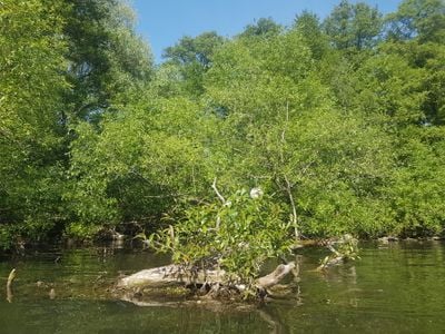
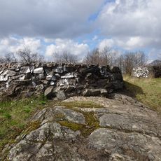
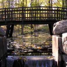
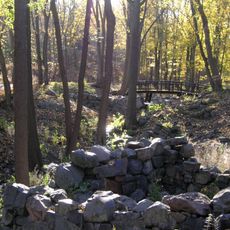
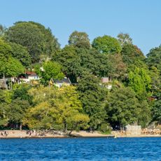
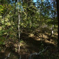
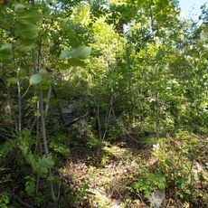
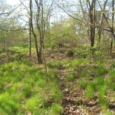
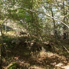
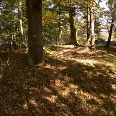
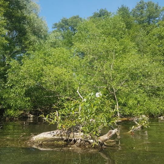
Årsta holmar are three connected islands in the Årstaviken waters, featuring dense deciduous forests and wooden walkways linking each landmass. The islands showcase a mix of natural woodland vegetation and designed garden landscapes.
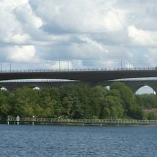
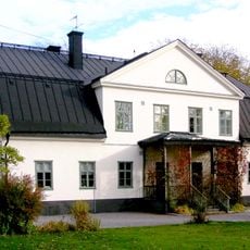
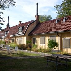
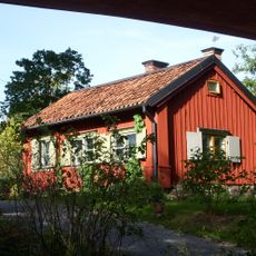
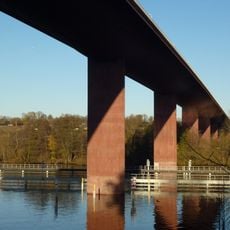
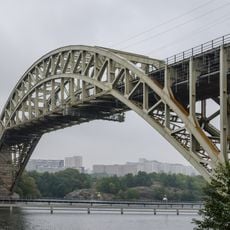
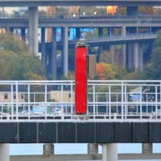
The three islets appear as Åhlholmen, Bergsholmen and Lillholmen on Petrus Tillæus's detailed map of 1733, when land uplift had not yet joined them. The wooden Årsta holmars gård on Alholmen's north shore dates from 1737 and was built as a summer residence with an orangery and fruit orchard. The islets formed their own district from 1926 to 1934; the eastern Årstabron opened in 1928 and the western in 2005.
The three islets keep the names recorded on Petrus Tillæus's 1733 map: Åhlholmen, Bergsholmen and Lillholmen. Bergsholmen was earlier called Tallholmen, Alholmen was Ladholmen and Gräsholmen, and Lillholmen was Betesholmen, Ängsholmen and Lilla skäret. Land uplift has since joined what the map shows as three separate islands.
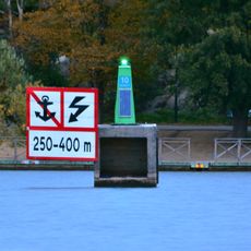
The three islands are linked to each other by wooden footbridges, but there is no passage from the mainland: neither the Årsta bridges nor the shore give access, so the islands can only be reached by boat. Plan for a crossing by water and for paths that stay unpaved.
The three islands were still mapped as separate in Petrus Tillæus's 1733 chart, under the names Åhlholmen, Bergsholmen and Lillholmen; land uplift has since joined them into what is now nearly one landmass. The Årsta bridges cross Alholmen but offer no passage down to it, so the islands stay reachable only by boat.
The community of curious travelers
AroundUs brings together thousands of curated places, local tips, and hidden gems, enriched daily by 93,674 contributors worldwide.