
Lundby 254:1, ristning, medeltid/historisk tid i Västergötland
Location: Gothenburg Municipality
GPS coordinates: 57.70873,11.93117
Latest update: March 30, 2025 02:38
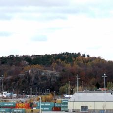
Ramberget
717 m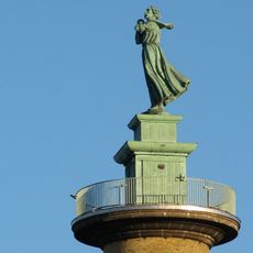
Kvinna vid havet
1 km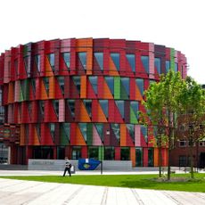
Kuggen
508 m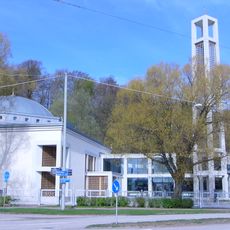
Gothenburg Mosque
994 m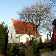
Lundby Old Church
1 km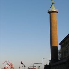
Sjömanstornet
1 km
Backa Theatre
426 m
Amerikaskjulet
941 m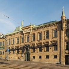
Henriksberg
1.1 km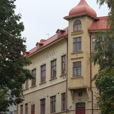
Aftonstjärnan
220 m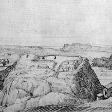
Lindholmen Castle
515 m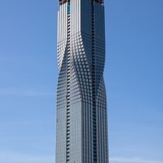
Karla Tower
498 m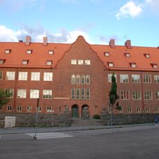
Rambergsskolan
1 km
Radiomuseet, Göteborg
838 m
Sannegårdsmonumentet
919 m
Renströmska badanstalten i Lundby
794 m
Pennsylvania monument
1 km
Biblioteca de Älvstranden
565 m
Lundbystrands sporthallar
919 m
Keillers park
773 m
Göteborgs Dramatiska teater
1.1 km
Älvrummet
511 m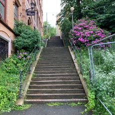
Wollins Trappor
1.1 km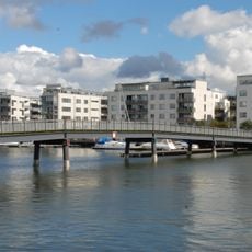
Sannegårdsbron
506 m
Bläsan
933 m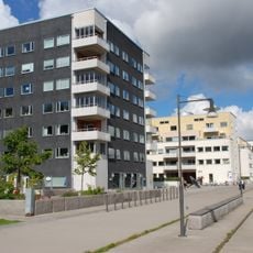
Västra Sannegårdskajen
434 m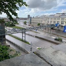
Erik Johannessons Gångbro
1 km
Samuraj
818 mReviews
Visited this place? Tap the stars to rate it and share your experience / photos with the community! Try now! You can cancel it anytime.
Discover hidden gems everywhere you go!
From secret cafés to breathtaking viewpoints, skip the crowded tourist spots and find places that match your style. Our app makes it easy with voice search, smart filtering, route optimization, and insider tips from travelers worldwide. Download now for the complete mobile experience.

A unique approach to discovering new places❞
— Le Figaro
All the places worth exploring❞
— France Info
A tailor-made excursion in just a few clicks❞
— 20 Minutes