
Gunnaredsstigen, path in Gothenburg, Sweden
Location: Gothenburg Municipality
GPS coordinates: 57.80725,12.04617
Latest update: April 6, 2025 17:24
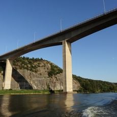
Angeredsbron
2.1 km
Lövgärdet
970 m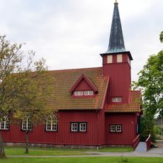
Kärra
3.6 km
Jordfallsbron
5.8 km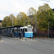
Angereds Centrum
1.1 km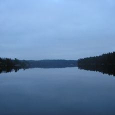
Surtesjön
2.1 km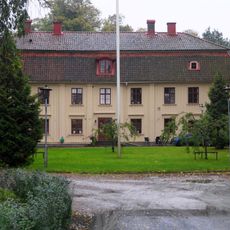
Lärjeholms gård
5.6 km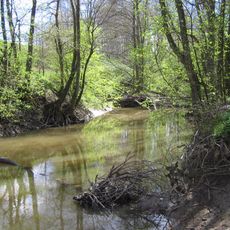
Lärjeån
5.3 km
Vättlefjälls naturreservat
3.5 km
Angereds Teater
1.3 km
Villa Ellesbo
3.9 km
Bergsjöns kyrka
5.8 km
Hjällbo Church
4.5 km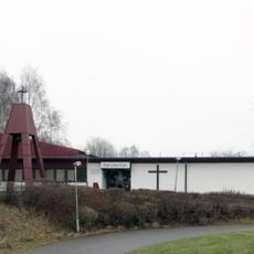
Mariakyrkan i Hammarkullen
3 km
Stora Mölnesjön
1.7 km
Surte glasbruksmuseum
3.1 km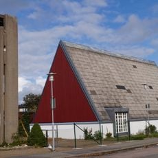
Hammarkullen Church
2.9 km
Kortedala museum
5.5 km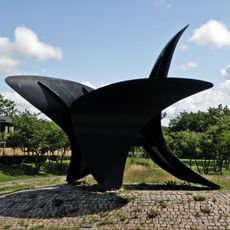
De tre vingarna
1.5 km
Lövgärdets kyrka
1.1 km
Angereds sporthall
1.5 km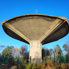
Bergsjön water tower
5.8 km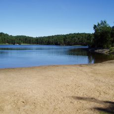
Mölnesjöbadet
1.7 km
Angereds Bio
1.3 km
Säve 135:1
4.6 km
Borres slott
5.2 km
S:t Görans grav
5.2 km
Hällkista, Bergsjön
5.7 kmReviews
Visited this place? Tap the stars to rate it and share your experience / photos with the community! Try now! You can cancel it anytime.
Discover hidden gems everywhere you go!
From secret cafés to breathtaking viewpoints, skip the crowded tourist spots and find places that match your style. Our app makes it easy with voice search, smart filtering, route optimization, and insider tips from travelers worldwide. Download now for the complete mobile experience.

A unique approach to discovering new places❞
— Le Figaro
All the places worth exploring❞
— France Info
A tailor-made excursion in just a few clicks❞
— 20 Minutes