
Mae Ramat, district in Tak province, Thailand
Location: Tak
Elevation above the sea: 692 m
GPS coordinates: 16.98306,98.51694
Latest update: March 5, 2025 10:20
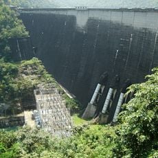
Bhumibol Dam
56.4 km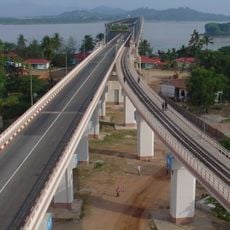
Thanlwin Bridge
109.3 km
Mae Ping National Park
71.6 km
Kyaikthanlan Pagoda
109.5 km
หอเทวาลัยเกษตรพิมาน
95.2 km
Wat Phra Borom That
56.8 km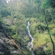
Khlong Wang Chao National Park
86.8 km
Kyauk Ka Lat Pagoda
95.1 km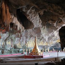
Saddan Cave
89.3 km
Taksin Maharat National Park
49.3 km
Lan Sang National Park
57.7 km
Sandawshin Zwegabin Pagoda
92.1 km
Kaw Goon Cave
100.7 km
Yamanya Stadium
109.6 km
Nam Tok Pha Charoen National Park
56.5 km
Wat Thai Samakkhi
22.7 km
Wat Phra That Ha Duang
100.6 km
Wat Chonlaprathan Rangsan
62.2 km
Thanlwin Bridge (Hpa-An)
97.8 km
Wat Wang Khrai
65 km
Wat Mani Phraison
30.3 km
Wat Chumphon Khiri
30.1 km
Hpa-An University
93 km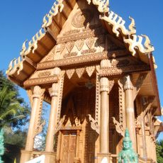
Wat Nong Luang
103.5 km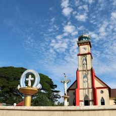
St Patrick's Church
110 km
Donthami River
104.4 km
Historic site
109.3 km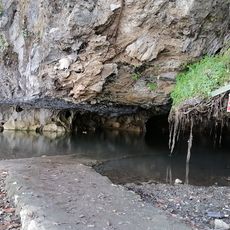
Phabaung Taung
101.6 kmReviews
Visited this place? Tap the stars to rate it and share your experience / photos with the community! Try now! You can cancel it anytime.
Discover hidden gems everywhere you go!
From secret cafés to breathtaking viewpoints, skip the crowded tourist spots and find places that match your style. Our app makes it easy with voice search, smart filtering, route optimization, and insider tips from travelers worldwide. Download now for the complete mobile experience.

A unique approach to discovering new places❞
— Le Figaro
All the places worth exploring❞
— France Info
A tailor-made excursion in just a few clicks❞
— 20 Minutes