Mae Taeng, Administrative district in Chiang Mai, Thailand
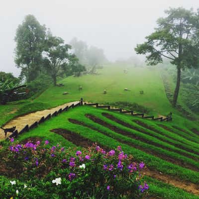
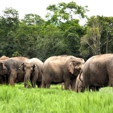
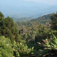
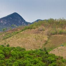
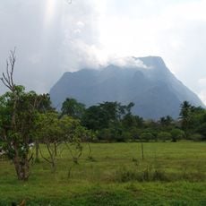
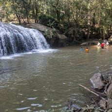
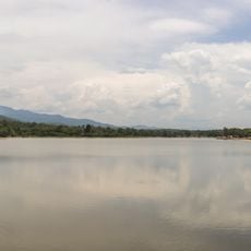
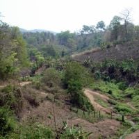
Mae Taeng is an administrative district in Chiang Mai located at approximately 750 meters elevation, containing thirteen subdistricts spread across rural terrain. The landscape combines mountainous areas with agricultural land, featuring rice fields and forest areas that define its character.
The area was settled by the Lanna people who established agricultural communities and trade networks throughout northern Thailand's mountains. These early inhabitants shaped the region's development into a farming-based district.
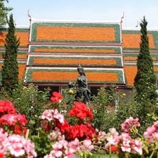
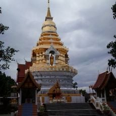
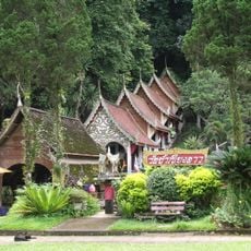
The area preserves traditional farming practices and local festivals that reflect northern Thai customs and way of life. These traditions shape daily routines and connect residents to their roots.
The district operates under UTC+7 time zone with postal code 50150 for administrative matters. Visitors will encounter rural infrastructure and hilly terrain that calls for comfortable shoes and patience when exploring the area.
The elevation differences across the thirteen subdistricts create distinct microclimates that allow diverse crops to grow at different altitudes. This natural variation lets farmers cultivate plants that thrive in specific height zones, making the area quite varied for agriculture.
The community of curious travelers
AroundUs brings together thousands of curated places, local tips, and hidden gems, enriched daily by 60,000 contributors worldwide.