Mueang Phetchabun, Administrative district in Phetchabun Province, Thailand.
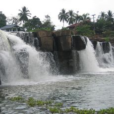
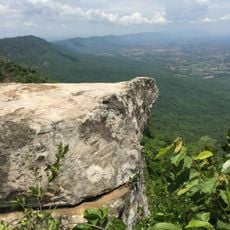
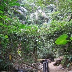
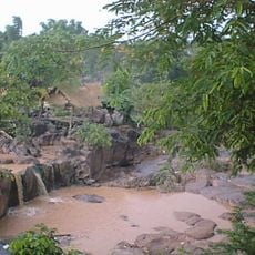
Mueang Phetchabun is an administrative district in Phetchabun Province that extends across terrain near the Pa Sak River and includes a variety of settlements. The area is divided into 17 subdistricts and contains one main town and two township municipalities alongside rural communities.
The district originated as a frontier settlement during the Sukhothai period, when Prince Damrong Rajanubhab built fortifications along the Pa Sak River. These early defenses formed the basis for what would later become the administrative center.
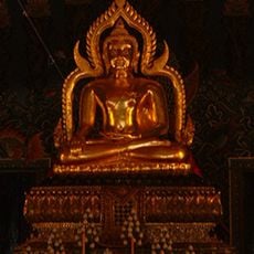
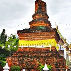
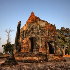
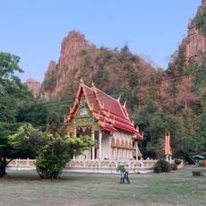
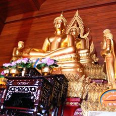
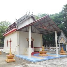
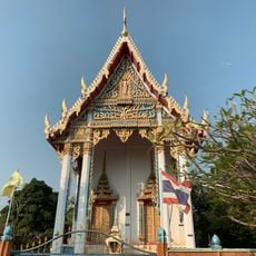
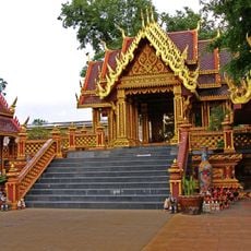
The district contains several Buddhist temples, with Wat Mahathat serving as the main religious center for residents of the old town areas. These sacred spaces shape daily life and mark important celebrations throughout the year.
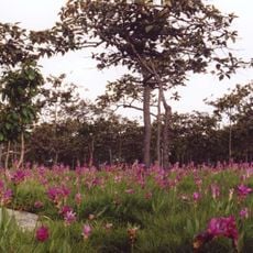
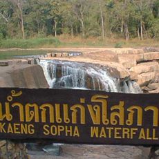
The district is well organized with a main town and two township areas serving as focal points for visitors. Rural areas are connected by local roads, and the best time to explore is during the cool season from November to February.
In 1943, this district was proposed as Thailand's new capital under the name Nakhonban Phetchabun, though parliament rejected the proposal. This forgotten plan reveals how much importance was once placed on this location's potential role in the nation's future.
The community of curious travelers
AroundUs brings together thousands of curated places, local tips, and hidden gems, enriched daily by 60,000 contributors worldwide.