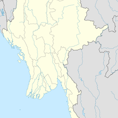
Mueang Prachuap Khiri Khan, Administrative district in Prachuap Khiri Khan Province, Thailand
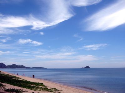
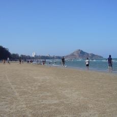
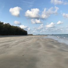
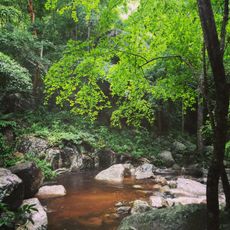
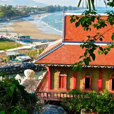
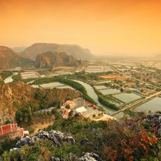
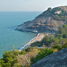
Mueang Prachuap Khiri Khan is the main district anchored by three bays that curve along the Gulf of Thailand, with coastal plains giving way to forested hills and mountains inland. The area spans six sub-districts containing numerous rural villages that blend agricultural land with fishing settlements.
The area grew from an older settlement called Na Rang during the Ayutthaya period before being relocated and renamed under King Rama II's rule. This transformation reflected shifts in regional administration and royal authority during the early Bangkok era.
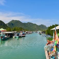
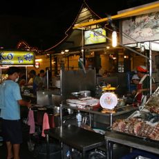
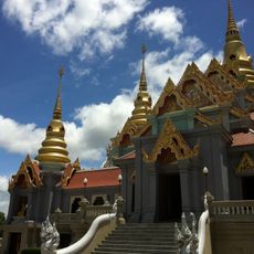
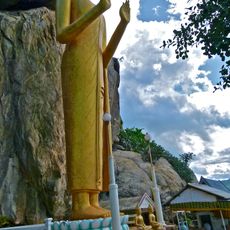
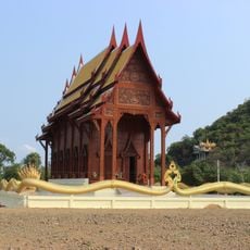
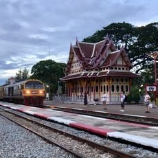
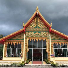
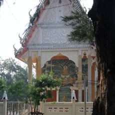
The locality is the heart of a fishing community where traditional maritime knowledge still shapes how residents work and live along the coast. Schools and temples form the center of village social life, bringing people together for both education and spiritual observance.
The district occupies Thailand's narrowest point where the Gulf coast sits just kilometers from the Myanmar border, creating a unique geographic funnel. Travelers should know that roads can become congested during fishing season and weather patterns affect coastal access throughout the year.
The three bays on the eastern coastline form natural harbors that have sheltered fishing boats for generations and shaped maritime traditions. Few visitors realize these geographic features explain why fishing remains so central to the community's identity and livelihood.
The community of curious travelers
AroundUs brings together thousands of curated places, local tips, and hidden gems, enriched daily by 60,000 contributors worldwide.