
Pak Chan, subdistrict in Kra Buri district, Ranong province, Thailand
Location: Kra Buri
Shares border with: Choporo, Wang Mai, Mamu
GPS coordinates: 10.52045,98.83127
Latest update: May 4, 2025 00:33
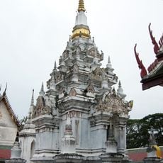
Wat Phra Boromathat Chaiya Rat Worawihan
132.2 km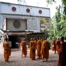
Wat Suan Mokkh
134.4 km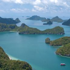
Mu Ko Ang Thong National Park
144.6 km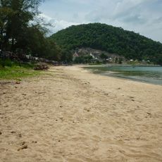
Sai Ri beach
51.5 km
Laem Son National Park
142 km
Wat Thang Sai
124.5 km
Lampi Island Marine National Park
72.5 km
Mu Ko Chumphon National Park
47.5 km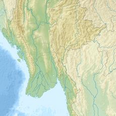
Lenya National Park
115.5 km
Wat Khao Chedi
57.9 km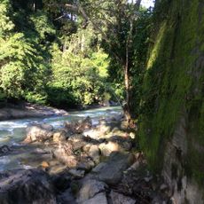
Namtok Ngao National Park
77.2 km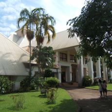
Chumphon National Museum
39.6 km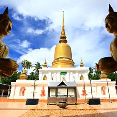
Wat Phra That Sawi
43.1 km
Wat Kaeo
133.1 km
Mu Ko Ranong National Park
99.1 km
Wat Khan Ngoen
68.1 km
Lam Nam Kra Buri National Park
51.9 km
Wat Suwanna Khiri Wihan
63.9 km
Wat Uppanan Tharam
66.3 km
Wat Long
132.7 km
Wat Tham Khao Khun Krathing
33.2 km
Wat Suwan Khuha Wariwong
50.4 km
Wat Nong Mongkhon
117.1 km
Wat Ko Charoen Santi Wanaram
119.3 km
Nangyuan Island Beach
116.6 km
Koh Phayam
98.7 km
Ao Sai Daeng
121.5 km
Ban Pak Dan Hot Spring
135.3 kmReviews
Visited this place? Tap the stars to rate it and share your experience / photos with the community! Try now! You can cancel it anytime.
Discover hidden gems everywhere you go!
From secret cafés to breathtaking viewpoints, skip the crowded tourist spots and find places that match your style. Our app makes it easy with voice search, smart filtering, route optimization, and insider tips from travelers worldwide. Download now for the complete mobile experience.

A unique approach to discovering new places❞
— Le Figaro
All the places worth exploring❞
— France Info
A tailor-made excursion in just a few clicks❞
— 20 Minutes