Guisborough, Market town in Redcar and Cleveland, England
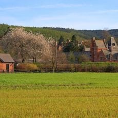
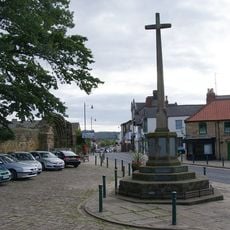
Guisborough is a market town positioned at the northern boundary of North York Moors National Park, distinguished by stone buildings lining its main market street and residential neighborhoods surrounding the core. The layout follows a traditional structure with the commercial center as its focal point.
A Roman cavalry helmet unearthed in the town during 1864 points to military settlements here during Roman occupation of Britain. The discovery reveals that the location held strategic importance in ancient times.
The Thursday and Saturday market remains woven into daily life here, having evolved from livestock trading into a gathering for local goods and regional products. This ongoing tradition shows how the community values its local commerce and gathering spaces.
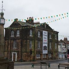
The town sits conveniently between the national park and urban facilities, with the renovated town hall offering an information center for visitors. Bicycle storage and guest accommodations are available, making it easy to plan visits or explore the surrounding area.
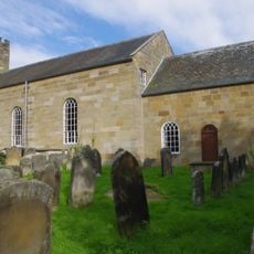
Prior Pursglove College, founded in 1561 and listed as Grade II, stands in the heart of the town and has maintained its educational role for more than four centuries. This long continuity makes it a rare example of institutional permanence in a small community.
The community of curious travelers
AroundUs brings together thousands of curated places, local tips, and hidden gems, enriched daily by 60,000 contributors worldwide.