Knapdale, Natural region in Argyll and Bute, Scotland
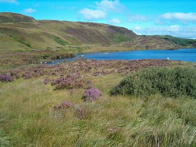
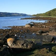
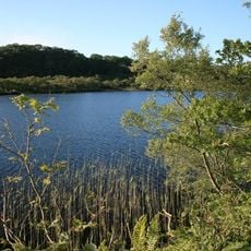
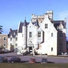
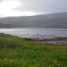
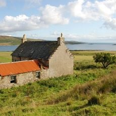
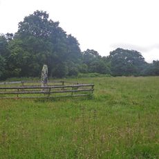
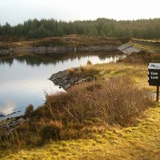
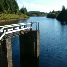
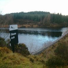
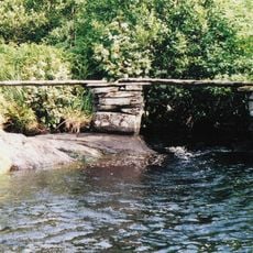
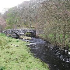
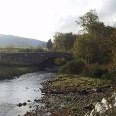
Knapdale is a geographic region in Argyll and Bute that spreads between Crinan and Lochgilphead with forests, lochs, and coastal edges. The landscape is defined by Loch Fyne to the east and the Sound of Jura to the west, creating a varied terrain of water and woodland.
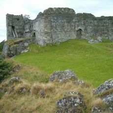
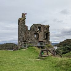
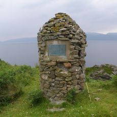
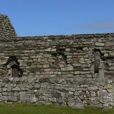
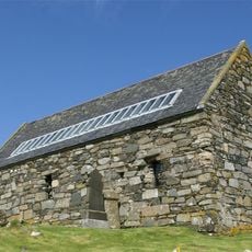
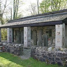
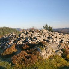
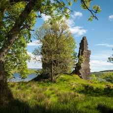
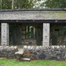
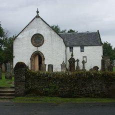
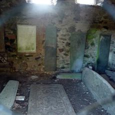
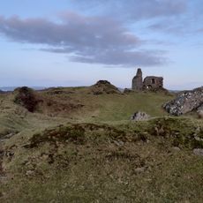
The region belonged to the ancient kingdom of Dál Riata in the first thousand years and later went through major territorial shifts during conflicts between Norwegian and Scottish powers. These events reshaped the control and settlement patterns across the area over time.
The name comes from Gaelic words meaning hill and field, reflecting how local people named the land based on what they saw around them. These words show the deep connection between the Highland language and the geography itself.
The A83 road runs along the eastern coastline while the B8024 forms part of Scotland's National Cycle Network through the region. These routes help visitors navigate and explore the different parts of the landscape easily.
Many visitors overlook that this area serves as a crucial habitat and water system, supporting diverse plant and animal life across its forests and lochs. Walking through the region reveals how the woods and waters work together to shape an interconnected living landscape.
The community of curious travelers
AroundUs brings together thousands of curated places, local tips, and hidden gems, enriched daily by 60,000 contributors worldwide.