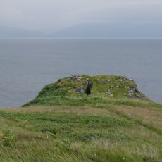
Cuillin, Mountain range on Isle of Skye, Scotland
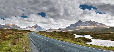
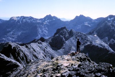
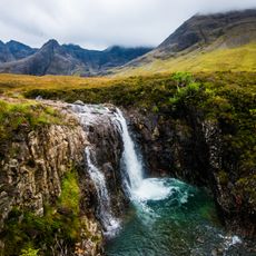
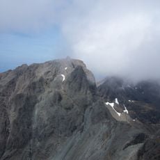
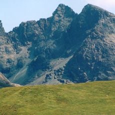
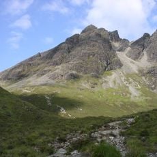
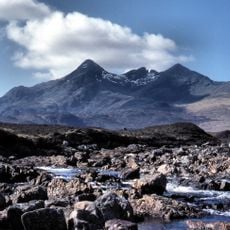
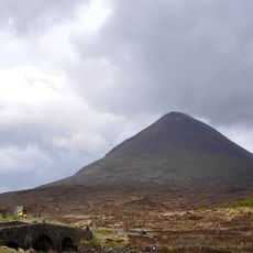
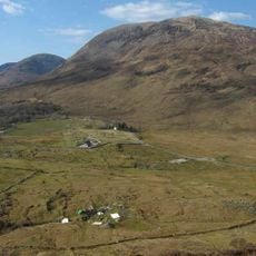
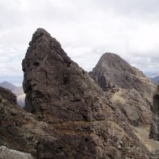
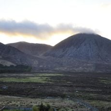
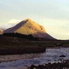
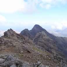
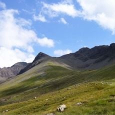
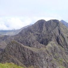
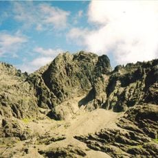
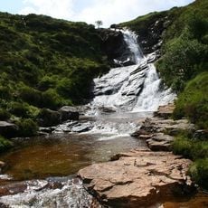
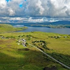
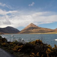
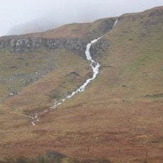
Cuillin is a mountain range on the Isle of Skye in Scotland, stretching roughly 14 kilometers with sharp peaks, steep cliffs, and scree slopes. The highest points reach about 992 meters and display dark gabbro and granite rock formations that create a jagged, rugged landscape.
This range formed through ancient volcanic activity that created the gabbro and basalt rocks visible today. Geological forces shaped these dark rock formations over millions of years into the jagged landscape we see now.
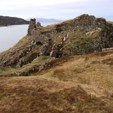
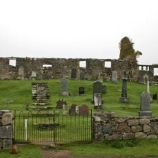
The name draws from Scottish Highland and Norse heritage, connecting this place to ancient traditions of the region. Local guides and climbers often share stories about how these mountains have shaped life in the Highlands over centuries.
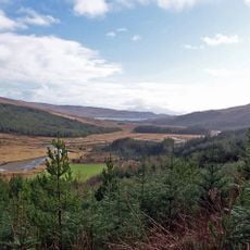
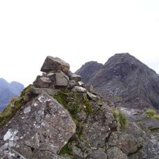
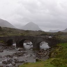
Climbers and hikers access the peaks through established routes starting from Glenbrittle, Sligachan, or Elgol, with each path offering different technical demands. Always check weather conditions before heading out, as conditions here can change rapidly and mountain terrain requires proper preparation.
The range splits into two contrasting sections: the dark Black Cuillin made of gabbro and the lighter Red Cuillin of granite, separated by Glen Sligachan. This geological division creates two completely different climbing environments side by side.
The community of curious travelers
AroundUs brings together thousands of curated places, local tips, and hidden gems, enriched daily by 60,000 contributors worldwide.