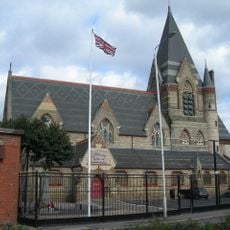
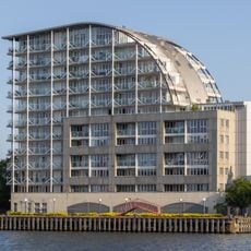
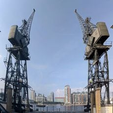
Royal Docks, Maritime district in East London, United Kingdom
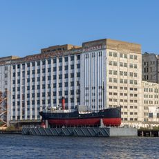
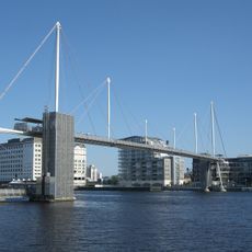
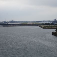
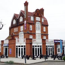
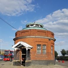
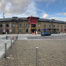
Royal Docks is a neighborhood in East London organized around three major dock basins: Royal Albert Dock, Royal Victoria Dock, and King George V Dock. These water bodies are lined with residential buildings, restaurants, and public spaces that create a mixed-use waterfront environment.
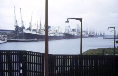
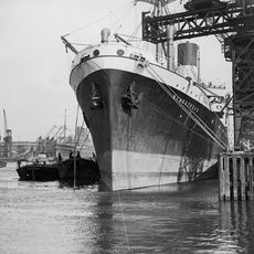
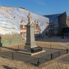
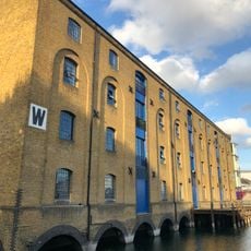
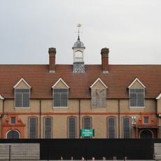
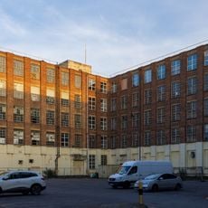
The docks were built between 1855 and 1921, transforming marshland into London's principal port for food imports during the early 20th century. The site became a symbol of maritime commerce and industrial growth that shaped the development of East London.
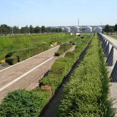
The area hosts regular waterfront markets, art shows, and live music performances that draw visitors from across the city. Local communities gather here for celebrations and seasonal festivals that reflect the diverse traditions of East London residents.
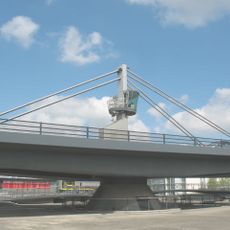
The area is well connected by Docklands Light Railway stations and London City Airport, with additional train service from the Elizabeth Line since 2022. Waterfront paths and pedestrian bridges make it easy to walk around and explore the different dock basins.
During the General Strike of 1926, the Royal Navy used submarine generators to keep the docks operational, revealing how vital this location was to the nation. Few visitors know about this underground power source that once kept the port functioning during a national shutdown.
Location: London Borough of Newham
GPS coordinates: 51.50670,0.04240
Latest update: December 7, 2025 10:05
Thames Barrier
1.1 km
NHS Nightingale Hospital London
853 m
Millennium Mills
851 m
Royal Victoria Dock Bridge
1.1 km
King George V Dock
1.3 km
Thames Barrier Park
870 m
Silvertown Quays
881 m
Brick Lane Music Hall
447 m
Silvertown War Memorial
1.3 km
Eastern Quay
1 km
St John's Church, North Woolwich
1.3 km
Church of the Ascension, Victoria Docks
615 m
St Mark's Church, Beckton
1.4 km
St Matthew's Church, Custom House
1.1 km
Silo D
981 m
War memorial at former St Mark's Church (Brick Lane Music Hall)
460 m
The Connaught Tavern
314 m
Entrance To Woolwich Pedestrian Tunnel
1.6 km
Warehouse W
1.3 km
Central Buffet At Custom House
906 m
Royal Dockyard Clock House (Facing Entrance)
1.6 km
Royal Dockyard Gun Emplacements On Riverside To North East Of Entrance And Gunposts Facing
1.6 km
Stothert And Pitt Cranes On North And South Sides Of The Royal Victoria Dock
1.6 km
Dock Manager's Offices
851 m
Former Siemens Cable Factory, 37 Bowater Road
1.4 km
Warehouse K
1.2 km
Connaught Bridge
172 m
Former Smithery, Erecting Shop And Brass Foundry, Royal Dockyard
1.6 kmVisited this place? Tap the stars to rate it and share your experience / photos with the community! Try now! You can cancel it anytime.
Discover hidden gems everywhere you go!
From secret cafés to breathtaking viewpoints, skip the crowded tourist spots and find places that match your style. Our app makes it easy with voice search, smart filtering, route optimization, and insider tips from travelers worldwide. Download now for the complete mobile experience.
A unique approach to discovering new places❞
— Le Figaro
All the places worth exploring❞
— France Info
A tailor-made excursion in just a few clicks❞
— 20 Minutes