Enable Location

We need your location to show you interesting places around you

Discover nearby places

Find interesting locations and hidden gems around you

Precise directions

Get accurate directions and distances to places

Your location is never shared with other users. It's only used when you tap the location button.

Royal Military Canal

Log in to your account

Start exploring — it's free

Trusted by 62,173 travelers worldwide

Continue with Google
Continue with Apple
or

We will send you a code to connect

By continuing, you accept our Terms and Conditions and our Privacy Policy

Check your inbox

We've sent a pincode in your inbox. Please enter the code below.

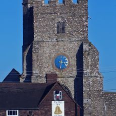
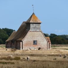
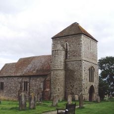
Royal Military Canal, Historic defensive canal in Kent, England

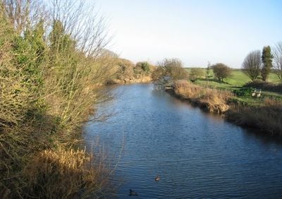
The Royal Military Canal stretches approximately 28 miles from Seabrook near Folkestone to Cliff End near Hastings, featuring earthworks, stone revetments, and several locks that exemplify early 19th-century military engineering techniques designed to create an effective defensive barrier.

Construction began on September 26, 1804, under Lieutenant-Colonel John Brown's supervision as part of Britain's defensive preparations against Napoleon's anticipated invasion, with the project receiving endorsement from Prime Minister William Pitt and costing approximately £234,000 to complete by 1809.

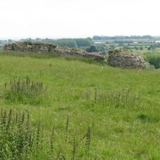
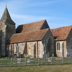
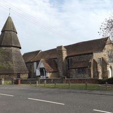
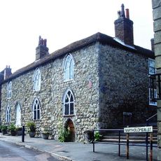
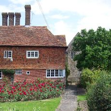
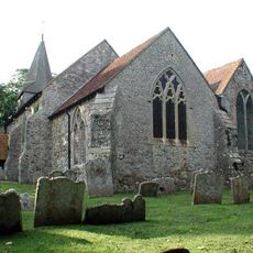
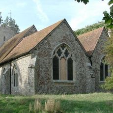
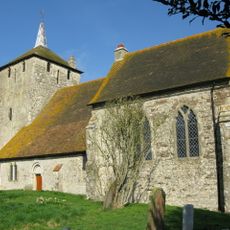
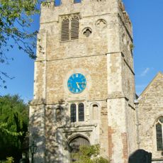
The canal has evolved from its original military purpose into a protected heritage site that forms part of the 163-mile Saxon Shore Way, offering visitors opportunities to explore remnants of wartime defenses, medieval structures, and local maritime traditions while serving as a symbol of British engineering resilience.

Today the canal supports recreational activities including walking, cycling, boating, and fishing, with boat hire available for rowing trips extending as far as West Hythe Dam, though licenses are required and navigators must adhere to restrictions at dams and locks.

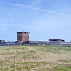
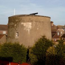
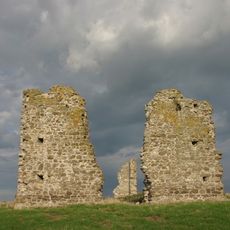
During World War II, the canal was reactivated as a defensive measure with concrete pillboxes and barbed wire installations along its ramparts, while German forces included it in their Operation Sea Lion invasion plans, demonstrating its strategic importance across two different centuries of warfare.

The community of curious travelers

AroundUs brings together thousands of curated places, local tips, and hidden gems, enriched daily by 60,000 contributors worldwide.

Start exploring
Location
Location
Inception
September 26, 1804
GPS coordinates
51.02899,0.93993
Latest update
July 25, 2025 19:20
« Royal Military Canal - Historic defensive canal in Kent, England » is provided by Around Us (aroundus.com). Images and texts are derived from Wikimedia project under a Creative Commons license. You are allowed to copy, distribute, and modify copies of this page, under the conditions set by the license, as long as this note is clearly visible.

Discover hidden gems everywhere you go!

From secret cafés to breathtaking viewpoints, skip the crowded tourist spots and find places that match your style. Our app makes it easy with voice search, smart filtering, route optimization, and insider tips from travelers worldwide. Download now for the complete mobile experience.

Around Us App Screenshot

A unique approach to discovering new places

Le Figaro

All the places worth exploring

France Info

A tailor-made excursion in just a few clicks

20 Minutes

Around Us
Travel Guide & Maps
Download

Send to your phone

QR Code
1

Open the camera app on your mobile.

2

Point at the QR code with your camera. A notification will appear.

3

Tap the notification to open the link.