Galloway, Geographic region in southwestern Scotland
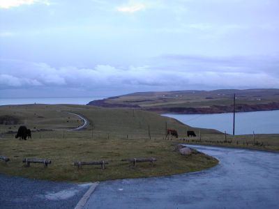
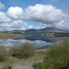
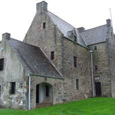
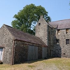
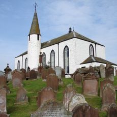
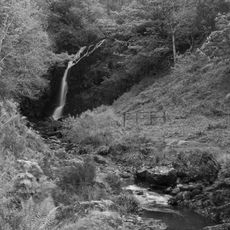
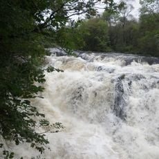
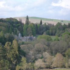
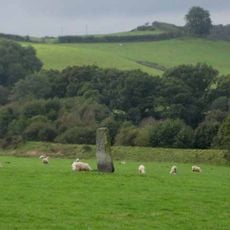
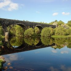
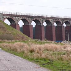
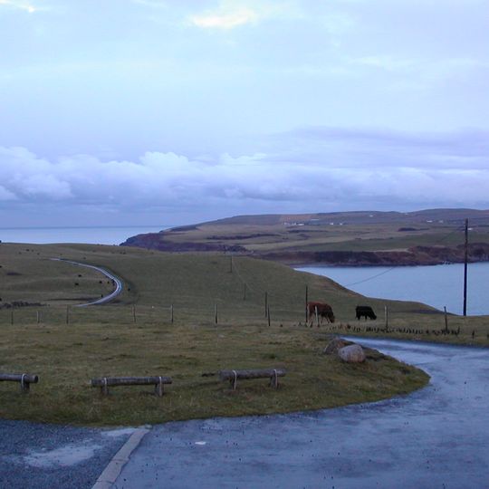
Galloway is a region in southwestern Scotland stretching along the shores of the Solway Firth and the Irish Sea. The area shows forested hills, open moorland, and a long coastline dotted with small bays.
The region stayed independent until 1234, when it finally joined the Scottish kingdom. Later, farming shaped the area, especially through raising hornless Galloway cattle on the pastures.
The name comes from the Gallgaidhel, early Celtic people known as Novantae in Roman times. Their roots appear today in Gaelic place names and field markers along the coast and through the valleys.
Galloway Forest Park offers marked paths for walking and cycling through forests and hills. Along the coast, you can walk beside the bays, where the water changes with the tide.
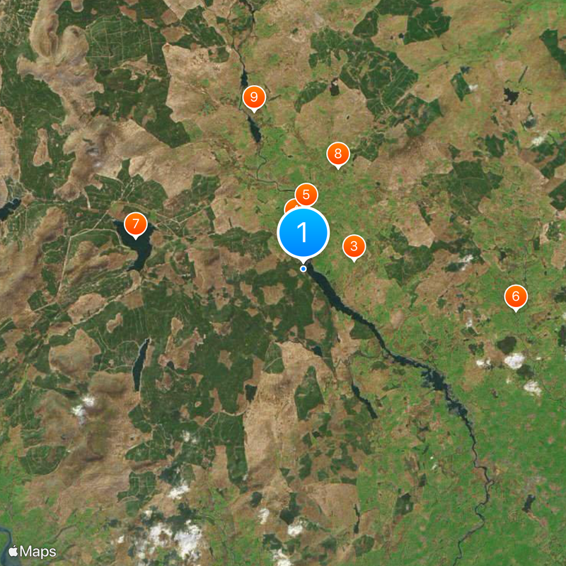
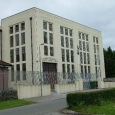
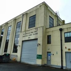
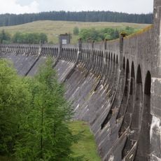
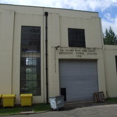
The hydroelectric system from the 1930s uses the rivers Dee and Ken through several dams to generate power. The facilities sit hidden in the valleys and still shape the landscape today through their reservoirs.
The community of curious travelers
AroundUs brings together thousands of curated places, local tips, and hidden gems, enriched daily by 92,077 contributors worldwide.