
Corston, village and civil parish in Somerset, United Kingdom
Location: Bath and North East Somerset
GPS coordinates: 51.38630,-2.44040
Latest update: March 10, 2025 16:46
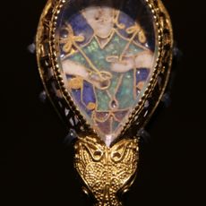
Alfred Jewel
1.3 km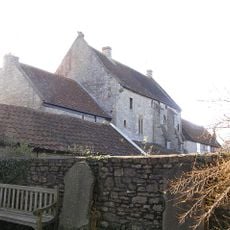
Saltford Manor House
2.2 km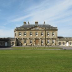
Newton Park
1.2 km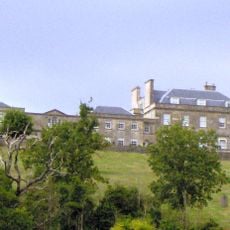
Kelston Park
1.1 km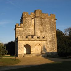
Newton St Loe Castle
1.4 km
Stantonbury Camp
2.8 km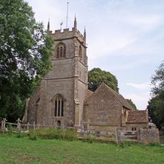
Church of the Holy Trinity, Newton St Loe
806 m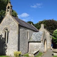
Church of St Michael
2.9 km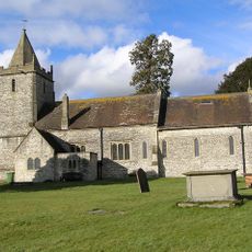
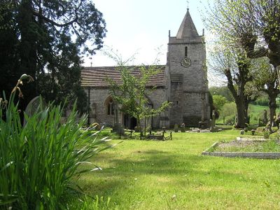
Church of All Saints
73 m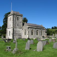
Church of St Nicholas
1.6 km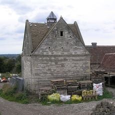
Dovecote, To South West Of St Nicholas' Church
1.6 km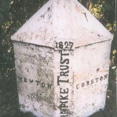
Boundary Post At Ngr St 6967 6527
237 m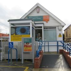
Saltford Library
2.2 km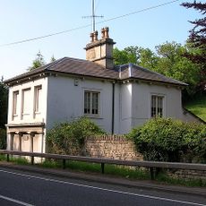
The Turnpike
1.3 km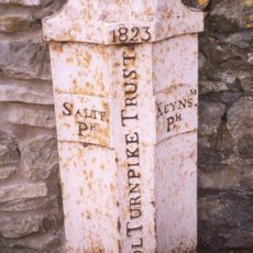
Parish Boundary Marker At Ngr St 678 673
2.5 km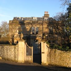
The Old Rectory And Garden Walls And Gatepiers To The West
912 m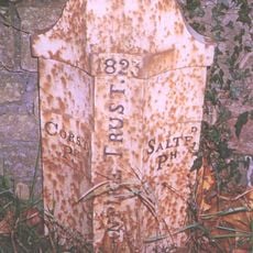
Boundary Marker At St 6914 6621
932 m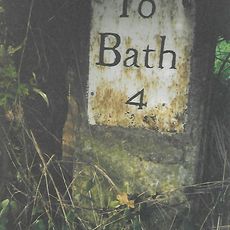
Milestone At National Grid Reference St 6924 6520
266 m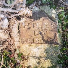
Milestone At National Grid Reference St 6973 6579
528 m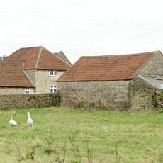
Barn And Attached Farm Buildings About 30 Metres South East Of Poplar Farm
2.8 km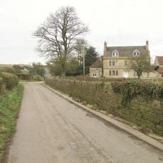
Poplar Farmhouse
2.8 km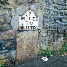
Milestone, Bath Road, nr top of hill going into Saltford from Bath
1.8 km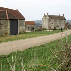
Park Farmhouse
2 km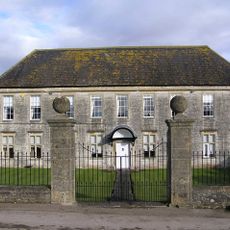
Manor Farmhouse
215 m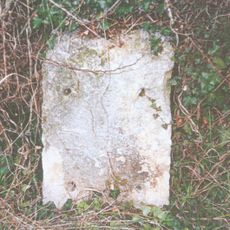
Milestone, eastbound carriageway, between Globe Inn, Corston and jct with A36
1.3 km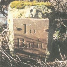
Milestone, start of dual carraigeway, N of Marksbury
3.2 km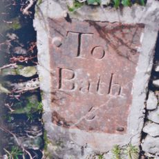
Milestone, E of Stantonbury House and Wheatsheaf PH, W of Corston
1.8 km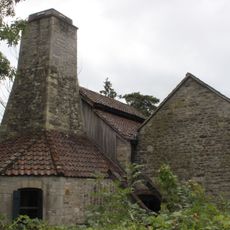
Saltford Brass Mill
1.8 kmVisited this place? Tap the stars to rate it and share your experience / photos with the community! Try now! You can cancel it anytime.
Discover hidden gems everywhere you go!
From secret cafés to breathtaking viewpoints, skip the crowded tourist spots and find places that match your style. Our app makes it easy with voice search, smart filtering, route optimization, and insider tips from travelers worldwide. Download now for the complete mobile experience.

A unique approach to discovering new places❞
— Le Figaro
All the places worth exploring❞
— France Info
A tailor-made excursion in just a few clicks❞
— 20 Minutes