Ring of Gullion AONB, Protected natural area in County Armagh, Northern Ireland.
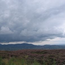
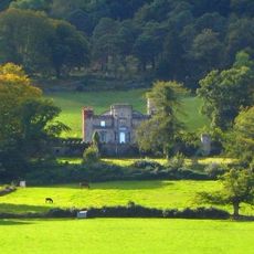
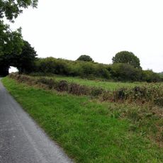
Ring of Gullion AONB is a protected area in County Armagh built around the mountain of Slieve Gullion, with a distinctive ring of hills enclosing the central peak. The landscape combines forested slopes, open moorland, and farmland shaped by this circular geological formation.
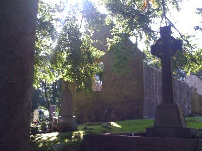
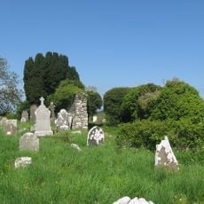
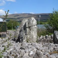
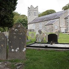
The area took shape about 50 million years ago through volcanic activity that created distinctive ring structures recognized later as scientifically important. Centuries later, around 700 AD, an inscribed Christian stone was carved here, marking one of Ireland's earliest dated religious monuments.
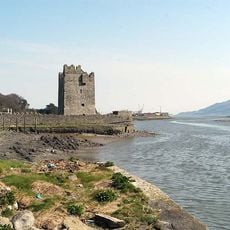
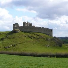
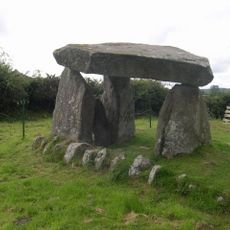
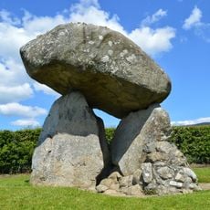
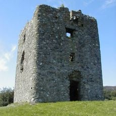
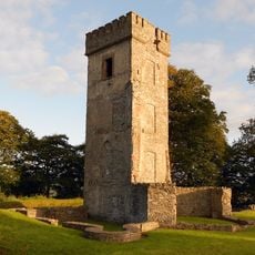
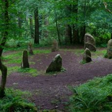
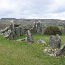
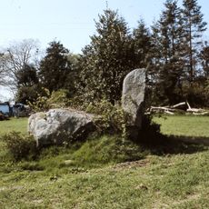
The area shows signs of human life stretching back thousands of years, with ancient tombs and earthworks still visible across the slopes today. These remains tell the story of people who made this place their home since prehistoric times.
Visitors can use marked walking trails and a scenic drive to explore, with rest stops and a visitor center offering refreshments along the way. The best walking conditions come in dry weather, as the moorland becomes boggy after heavy rain.
This geological formation was one of the first ring systems of its kind to be scientifically studied and mapped by researchers worldwide. That early scientific attention makes it a special place for understanding how volcanic forces shape mountains.
The community of curious travelers
AroundUs brings together thousands of curated places, local tips, and hidden gems, enriched daily by 60,000 contributors worldwide.